Let’s start by discussing what we need out of a logo and any concepts that come to mind. I think it would be really cool if someone from this community could step forward with a specific proposal, but we should focus on the requirements before judging a design by its aesthetics.
Personally, I’d favor moving away from the practice of defacing the magnifying glass in OSM’s logo. That’s a common practice among OSM’s local chapters and thematic user groups, but OHM is much more ambitious than a user group for OSM. An OSM-based logo is also nearly indistinguishable from the OSM logo at a small size, such as a favicon. If we do want to maintain a visual connection to the OSM project, we could use the OSM logo as a silhouette, such as in the Public Domain Map logo, but people who encounter OHM before becoming familiar with OSM may not intuit the connection anyhow.
I think there’s value in designing a single logo to represent the whole project, regardless of time period. Even though no single timekeeping device was used throughout all of human history, the logo can still symbolize the practice of historiography by depicting a well recognized device. Or we could go more abstract with something like a timeline.
First, the logo must be based on good practice in creating a modern commercial logo (use on white and black background, large and small version, a way to recognise the product, a recognisable logo).
I am in favour of adopting a unique logo for the OHM. The question of logos for sub-projects within OHM is one that we should not be dealing with here. The sub-projects within OHM will be free to do what they want, to use the logo they want.
Whether to continue to maintain the style of the earth and the magnifying glass depends on the relationship between OHM and OSM in its future positioning, and to what extent it will get help from OSM (such as to what extent it is allowed to use OSM data)
If it were up to me, I might choose not to use the original green map as the background of the base map, but something like File:OSM LatAm Logo.svg - OpenStreetMap Wiki or File:OSM-tw.svg - OpenStreetMap Wiki This way, use a different background
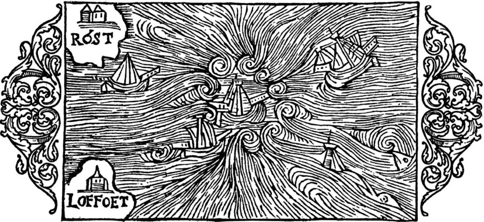
Of course, because this is a historical map, if I were to choose, I would not choose oceans and land, but something that can represent history or be reminiscent of history, the so-called “heavy feeling of history”
For example, a parchment-like nautical chart
Or the imprecise but abstract “maps” of ancient China (their difference from Western maps is that they are not drawn according to real shapes, but only retain relative positional relationships)
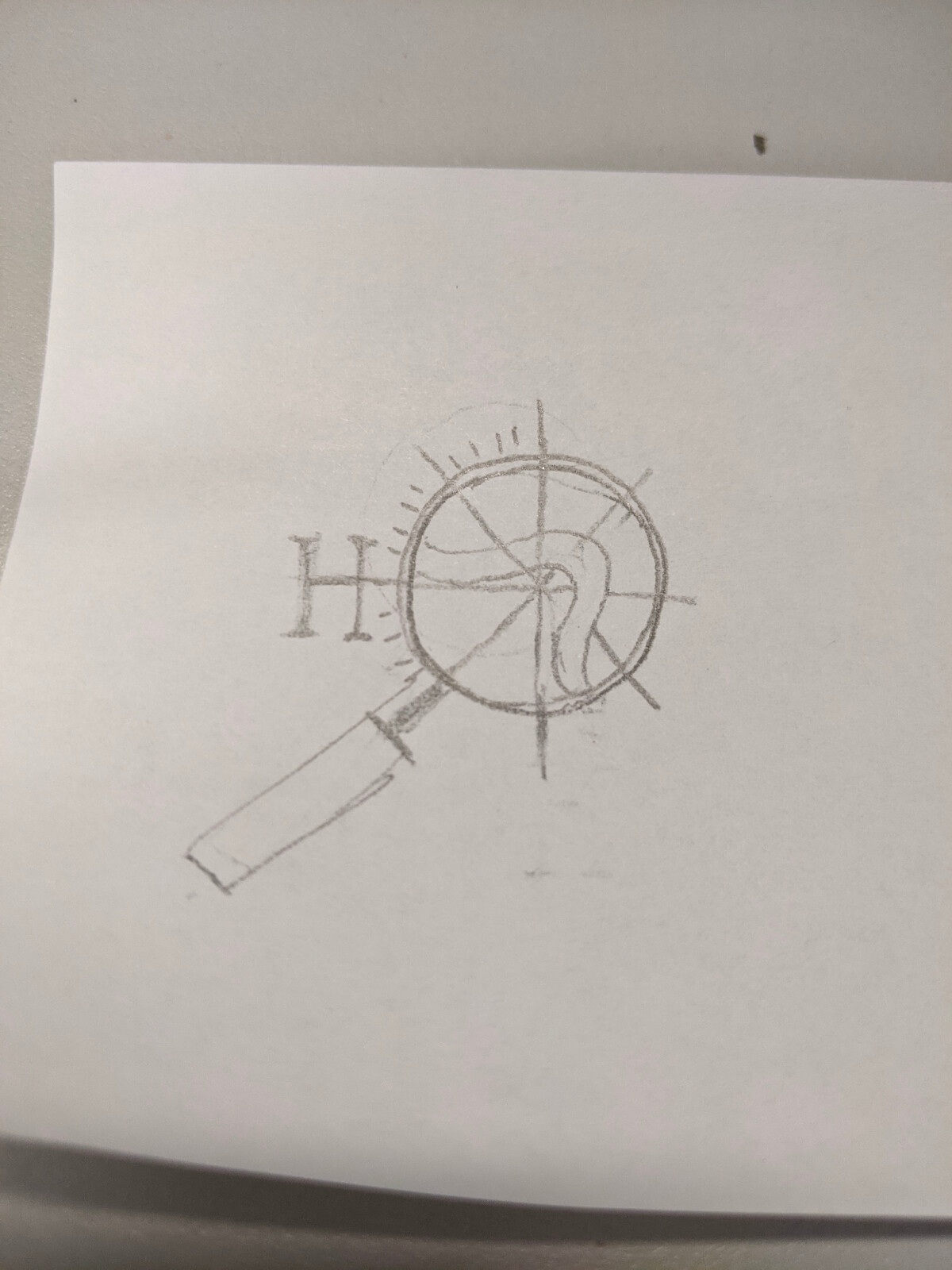
I think introducing some elements as mentioned above, instead of a letter “**[H]**istorical”, can better reflect that this map presents something related to history.
This has me thinking of a pair of compasses drawing out a clock. It could be simple enough to work symbolically.
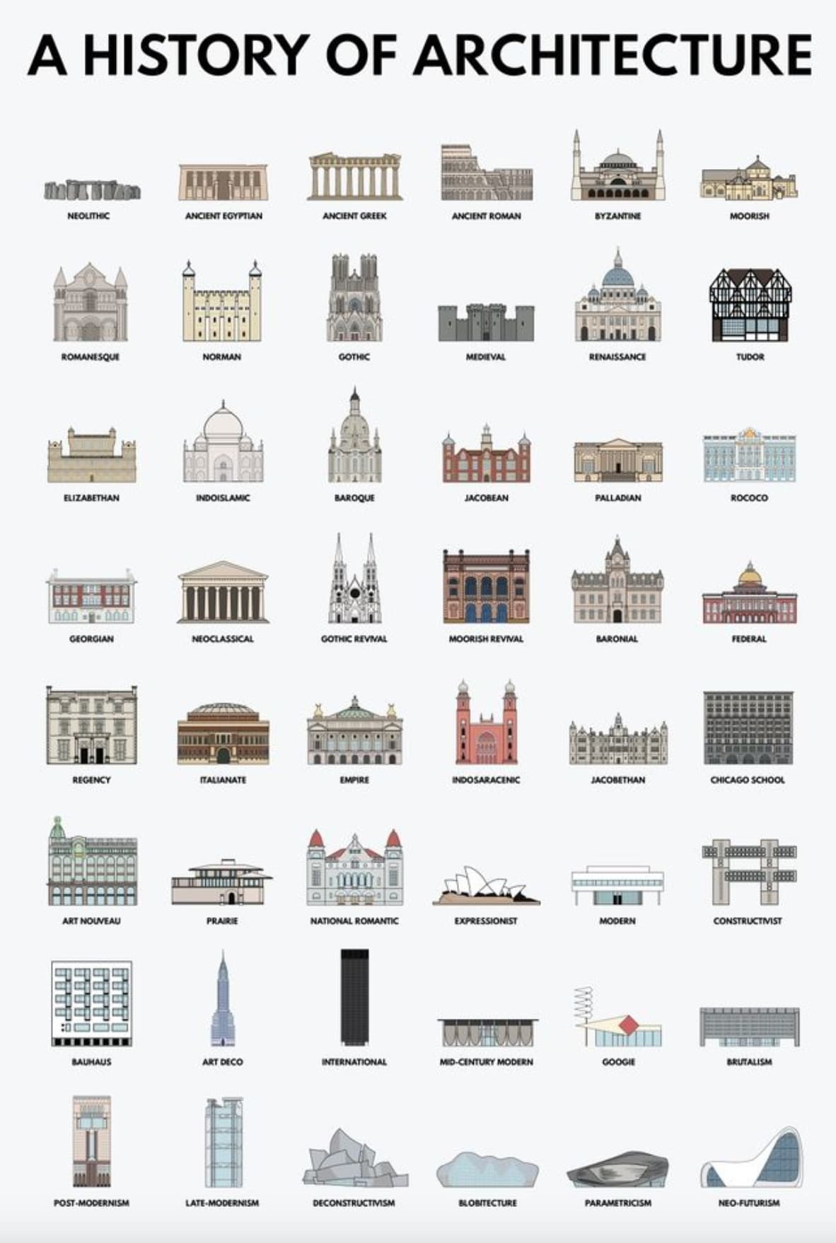
Another option is to use the shape of one or two famous structures as a metonym for history. For example, a representing a pyramid next to a skycraper, or something more obscure with an interesting story behind it. Or maybe a cartwheel to nod to the transportation infrastructure that we map, as long as it all doesn’t get too complex.
Maybe we could design a logo around a word in some language that’s symbolic of the project. It could be an ancient or extinct language in order to mitigate concerns about geographic bias or cultural appropriation. Ideally it would be a simple figure that makes for an elegant, memorable logotype. The following examples may vary in appearance depending on the fonts on your system:
𐎔 is Ugaritic for “here”, representing the location aspect of this project. It also means “and”, representing the intersection between history and geography.
भू is the word for “Earth” in Hindi, Marathi, Pali, and Sanskrit. It has several other interesting meanings in Sanskrit, such as “to be”, “ground”, “floor”, and “matter”.
ᠪᠠ and ᠨᠠ are Manchu words meaning “place”, “land”, or “earth”.
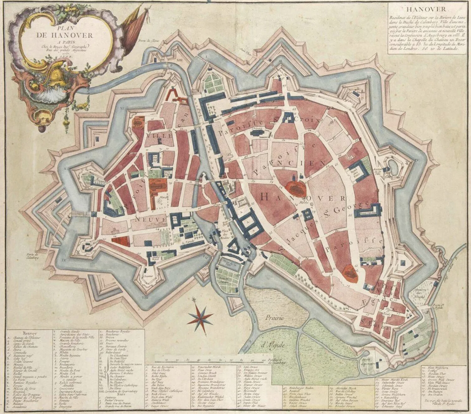
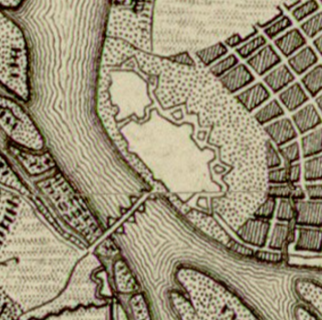
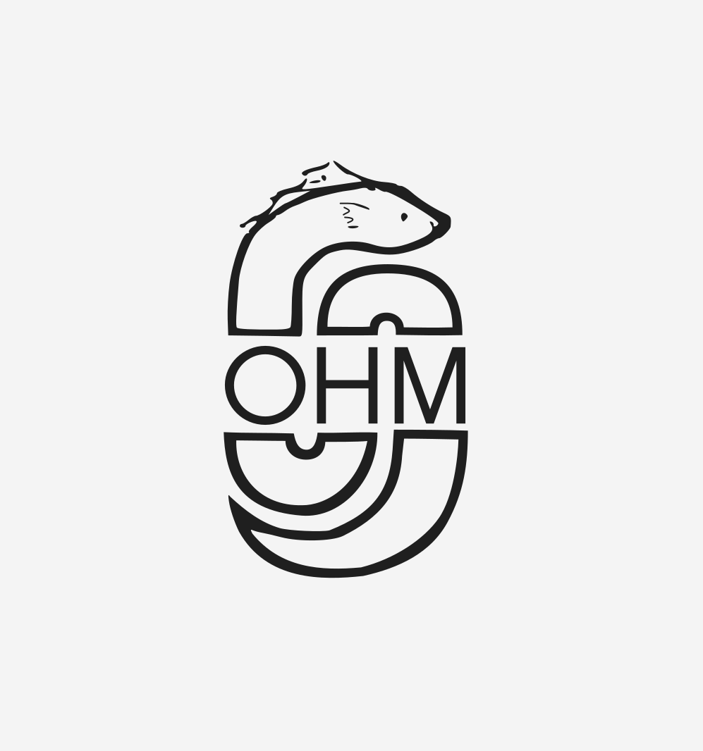
Please be sure to check out the Discord discussion around this very topic from 2021 (3 years ago?!?!) to incorporate some of the good thinking and brainstorming from then. You can quickly skim through and see some excellent mockups, particularly from Discord user @Lemente.
For the record, the original OHM logo has exactly zero thought behind it beyond what @Minh_Nguyen discussed above. We needed a logo in the early days, so it was created with a design brief of “any logo we could get, as quickly as we could get one,” which is why it looks like the logo for a local chapter.
Separately, for convenience of reference, I’m pasting in some of the logos and design cues from the prior Discord thread here:
The comments on this thread have pretty excited about our possibilities. I’ll be even more excited if someone with some graphic design skills shows up with some new concepts!
Some quick thoughts:
Less is more - blending more than a few concepts seems like visual / conceptual logo - not sure if that means 2, 3, or 4 elements. 4 is pushing it, but as has been said, “5 is right out.”
Tools - e.g., compasses, sextants, etc., maybe even clock arms, may be too much of a leap for the viewer, not to mention they create a lot of negative space (space between the arms)
Symbols - can be cryptic and unclear
Buildings, natural features, transportation modes, signs of people all seem appealing to me. They represent what we map. Maybe 1 of each? A pyramid, a river, railroad tracks, footprints? This might be combined in a single scene or in a quadrant-style shield? I dunno… just some thoughts.
I think it’s OK if the logo ends up being symbolic, since the name is already self-explanatory. At least we could choose a symbol that has more of a story behind it than the current “H”. For a symbol to be successful as a logo, it would have to be memorable and unique – so we can definitely rule out Ω.
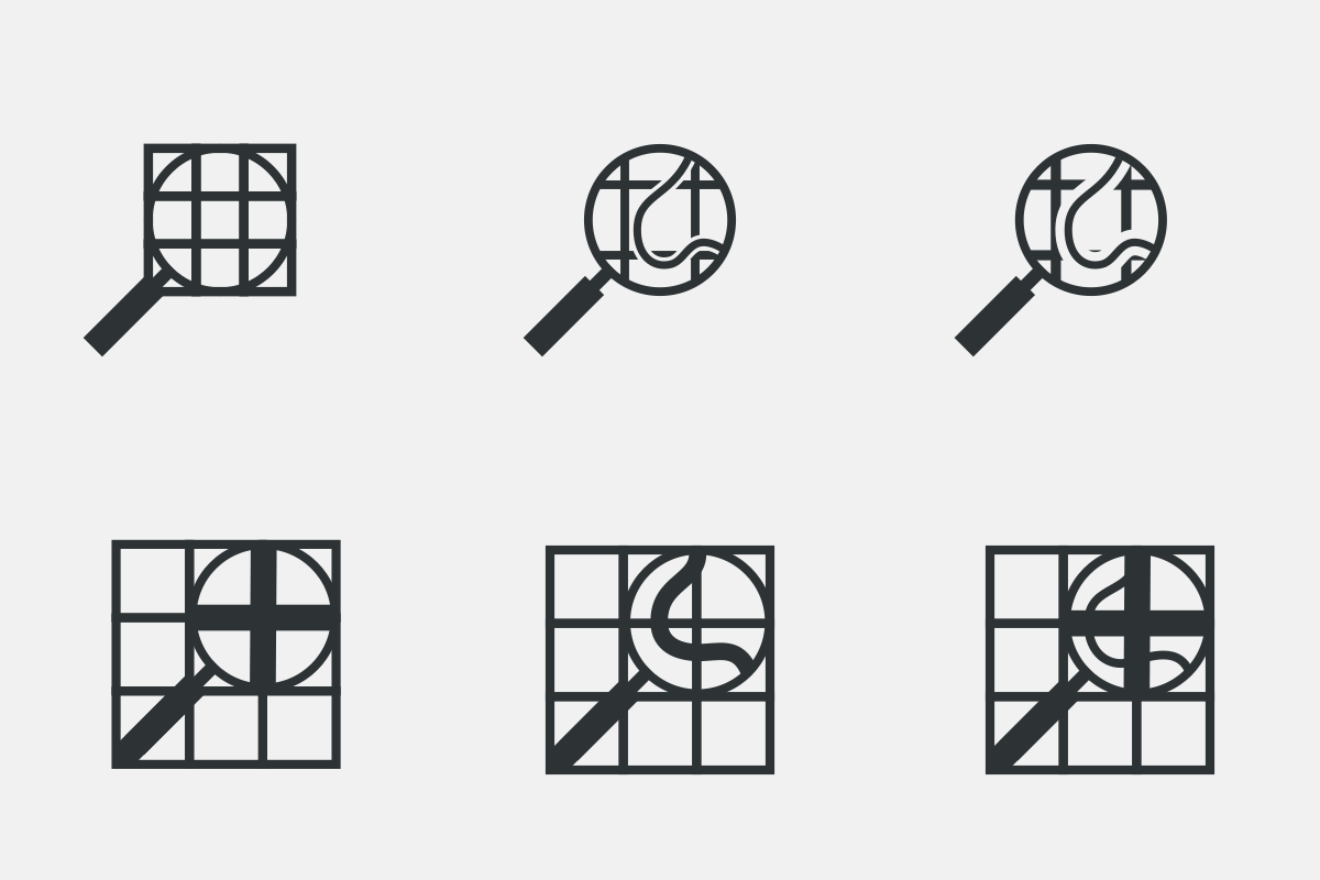
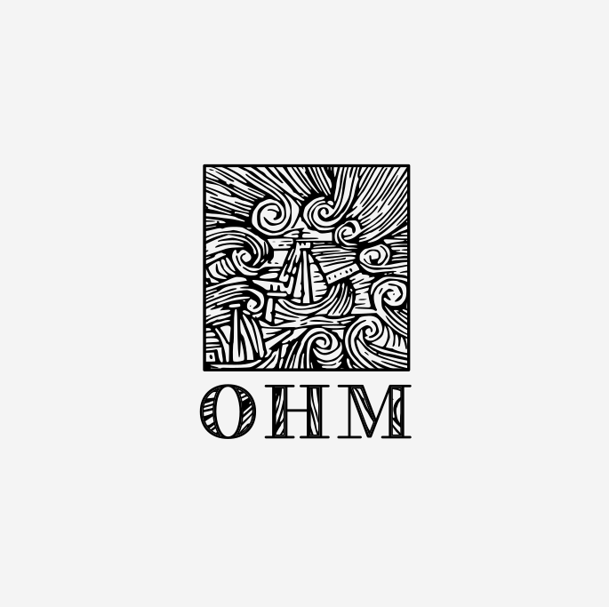
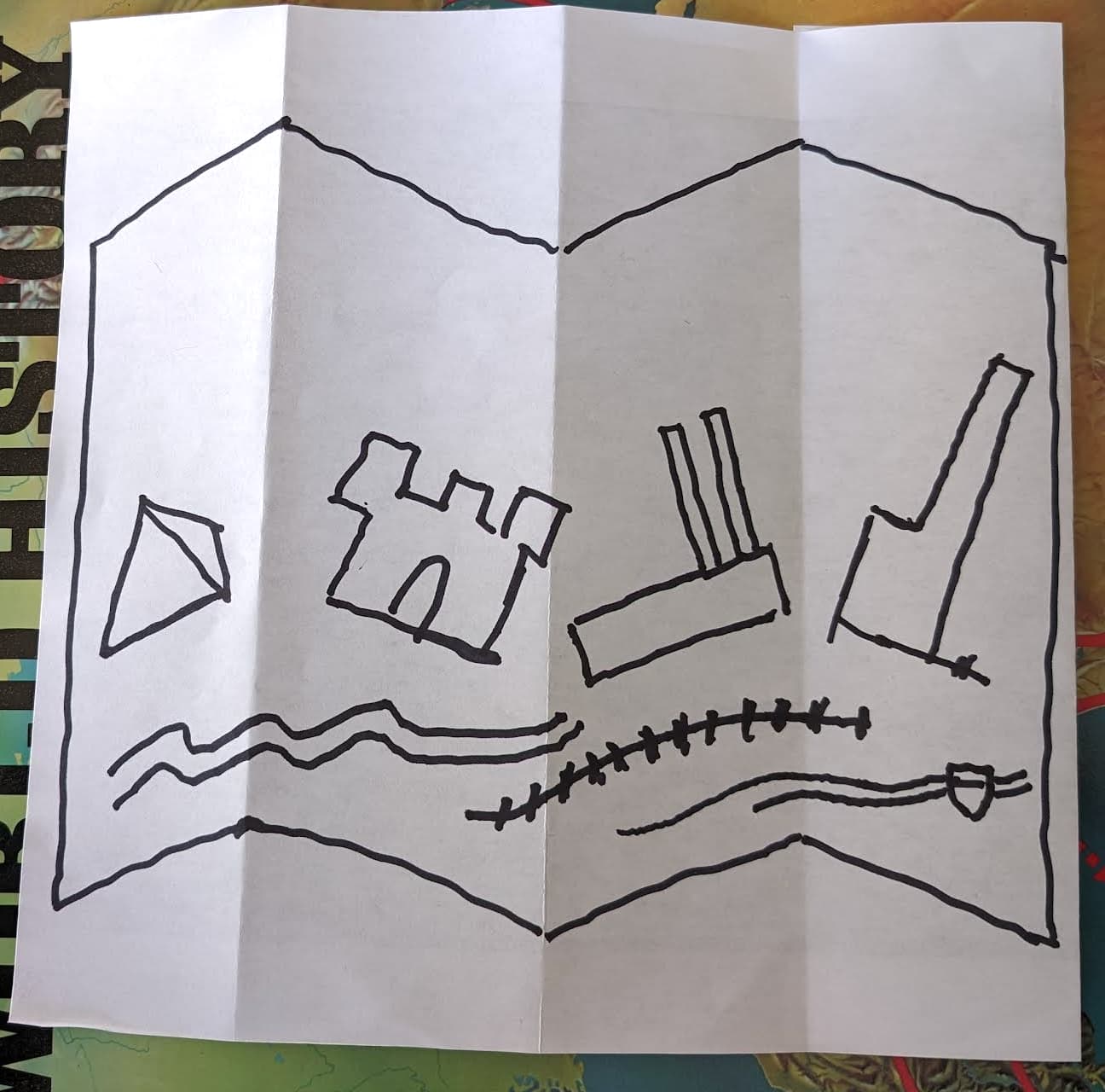
Ok - here’s one cut - trying to riff off @Minh_Nguyen’s idea of a virtual timeline of buildings. The squiggly lines are a river, rails, and then a road… I’d love to have some iconography of a person, but maybe that’s too much? Also, too much white space up top right now & possibly too tied to the folded map trope.
Here are a few sketches exploring some of the concepts that have been mentioned so far, in no particular order. Details such as colors and fonts are just for illustration, nothing particularly deliberate.
16×16
32×32
64×64
128×128
Symbolism
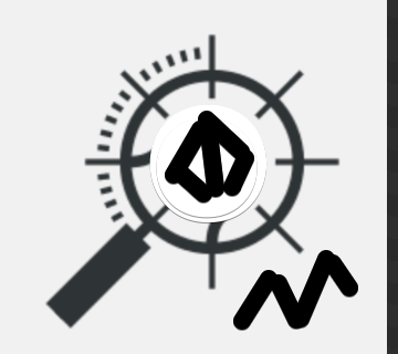
A magnifying glass with the hands of a clock within the lens, evoking the magnifying glass in OSM’s logo and the time dimension that OHM adds.
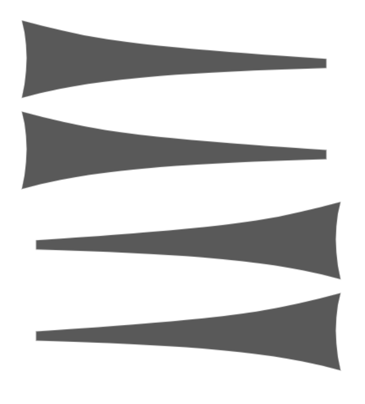
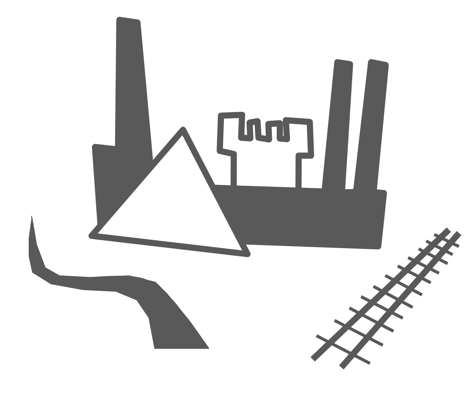
A triangle and rectangle resembling an ancient pyramid and modern office tower, representing this project’s broad geographic and chronological scope. A double-headed arrow, representing the dynamic time slider that makes this project tick and also the surveying and tracing that goes into much of our mapping. Maybe the arrow could have an S-curve so that it also represents a thoroughfare or watercourse. Or some tick marks so it looks more like a timeline and railroad tracks at the same time.
A Doric column with arrows on either side. The column not only refers to our building coverage but also resembles a text cursor, emphasizing our openness to edits by the public. The arrows represent the time slider.
With wordmark
Symbolism
Ugaritic cuneiform sign for “here”, symbolizing the project’s mapping aspect. The choice of a simple, memorable cuneiform evokes the durability of a public, collaborative resource compared to siloed individual projects.
I’m totally digging on Minh’s concepts - you can tell who’s the real graphic designer here. The icons also demonstrate the importance of small-scale rendering for use in a variety of web applications. Everything from a logo like the one for the forum here or for the “favicon” that you see in your browser tabs.
I like the cuneiform (yeah, I know… it’s a symbol) and am wondering if that could be played with a little / mashed up with the left/right arrows, like this:
The Ugaritic alphabet apparently didn’t have any forms that included backwards-pointing strokes, and I don’t see anything quite like this in Sumerian/Akkadian cuneiform at a glance, so we wouldn’t be saying anything naughty by accident.
I just used Noto Serif and Noto Ugaritic, which happened to be handy. It just gives an idea of how the logo will combine with some inherent complexity from the wordmark. But we could also simply keep the unstyled wordmark that ohm-website currently uses.


