OldInsuranceMaps.net provides web service endpoints that allow you to use georeferenced Sanborn maps as basemap sources while adding features to OpenHistoricalMap. For example, here’s a full mosaic of New Orleans, 1885, Vol. 2 in iD:
For other editions whose mosaics aren’t yet completed, you can still add any individual layer that has been georeferenced. For example, here’s Shreveport, 1896, Sheet 1 in iD
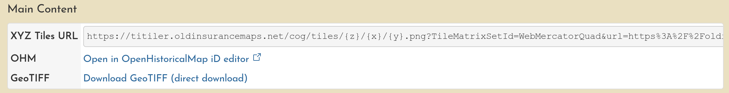
Find a sheet you want to digitize features from and click its title, bringing you to its own overview page. You’ll find a similar Download & Web Services section as described above.
As you’ll quickly find: there is plenty of information here to map.
Thanks for assembling this New Orleans map for the OHM community Adam. It is an incredible resource for its detail and accuracy. I hope it will encourage and inspire mappers to start adding data for this historic city. I’ve loved visiting New Orleans and have walked and marveled at its buildings while walking its various neighborhoods. Adding to the OHM map will be like revisiting these streets again and learning even more about their history.
Adam, would you be willing to provide a recommendation, or an example, of how to tag features on this 1885 map using EDTF Start_Date and End_Dates without knowing the actual start and end date?
That way features like buildings can be mapped with the existing 1885 data for now, but specific or more accurate, start and end dates can be added later.
It seems to me that when digitizing from maps like this, it would be really useful to have something like an “exists_on” date, because all you can often glean from the maps is that a feature existed at a certain point in time… Anyway, a good discussion topic for sure.
Some mappers have experimented with a key such as as_of_date, but you can express the same thing using start_date=1885start_date:edtf=/1885end_date=1885end_date:edtf=1885/.
I’ve been adding a lot of brick buildings and auxiliary wooden structures (stairs, porches and sun-roofs) to the New Orleans 1885 map described here. These kinds of small wooden structures appear very frequently and are often complex shapes, so they require quite a bit of my time and effort. I am wondering, as semi-permanent wood structures, are they important enough, or should I just focus my mapping effort on the more permanent buildings and larger wood structures? How much detail is good enough?
Great question, @Pete_Zivkov! Although, I have to admit, as a fan of the awe-inspiring detail in your tree mapping in Palo Alto, I’m surprised! Is that tree cover gone?
There are no “shoulds” on OHM. (Don’t “should” on yourself.) Everyone should map only what they want to map. All contributions are valued!
Buildings are clearly more important than the small structures.
Having these small wooden structures can add to the feel of what things were like in an earlier era. The density, the ramshackle nature of some of them, the transient, ephemeral nature of structures back in the day, might best be depicted by including them. It certainly paints a richer, more detailed perspective and temporal context.
But… even what you’ve mapped already provides amazing context and color. Not sure if the small structures add as much as I’ve romanticized in the prior bullet.
And… unless we have good time series info for these smaller buildings, it may be of less interest.
And… if your objective is to “finish” a certain area, you should make whatever tradeoffs you feel are best to accomplish what you want to accomplish. Those small structures aren’t going anywhere on the Sanborns and someone else can certainly come in later and add them.
That all said, see the first note: it’s all up to you. There’s much gratitude for what you’re doing and the quality and consistency that your mapping reflects.
Curious what Mr. Sanborn himself, @adamcox, thinks on this subject.
Wow @Pete_Zivkov your working is looking incredible! So cool to see the FQ replicated in OHM. I would just echo everything @jeffmeyer said, it’s all up to you! You may also be interested in exploring the New Orleans HistoryForge project, it’s essentially census transcription combined with maps: sela.historyforge.net/forge. They created the 1896 mosaic on OldInsuranceMaps, and use it to help map houses from the census. The Storyville neighborhood is where they have focused efforts thus far (just outside the French Quarter).
For readers who may not know, FQ=French Quarter… laissez les bons temps rouler!
HistoryForge is a great project and I’ve been talking with Eve Snyder about how OHM might complement their efforts to map city directories and old building data.
And… this whole conversation is making me realize we should probably have forum posts on HistoryForge as well as general “How can OHM work with your mapping project [project here]”?
I very much appreciate what you’ve mapped in the city. Your mapping will make it easier for me to ease into mapping more recent neighborhoods in New Orleans East and the Westbank, where I have family.
Personally, I alternate between different approaches from time to time. Sometimes I focus on intensively mapping a small area across all time. Other times, I pick a spot and follow the leads wherever they take me, clear across the country. Still other times, I map more sparsely, making it easier for me or someone else to fill in the blanks. For me, these complementary approaches help me avoid burnout. But everyone has a different style, especially since some kinds of sources come with inherent limitations.
Don’t feel bad about leaving stuff for later, but if you need to put any source or lead on the backburner, keep track of it on a wiki project page or make a note using the button on the main map.
Thanks for your thoughtful guidance @jeffmeyer. I have to admit that I marvel at the detail and accuracy of the 1885 Sanborn maps – so I’ve tried to create a similar level of detail and retain that value in the OHM version. I just wanted to be sure I wasn’t overdoing it.
I know I have the tendency, and sometimes can get caught up in unnecessary details. Like those suburban trees in Menlo Park! Not to worry, they are still there. I decided that I was overusing the Natural Wood area tag for very small groups of trees, so I mapped them as individual trees instead.
Your leading comment on “no shoulds” and mapping only what you care about without “finishing”, are especially encouraging. It definitely makes the work more pleasurable and less of a chore for me.
I think I’ll continue doing what I have been doing until I get tired of the repetition and then I’ll move onto some new aspect of the map so I can pick up some new and fresh skills.


