The state boundary import was originally completed in a highly curated fashion, by hand, without the individual edge segments. So, there are now overlapping ways - the old state boundaries (long) and the newer county boundaries (shorter) that need to be used to rebuild the state boundaries. So… yes, I’d wait, but I don’t expect it will be too too long.
Will you be reusing the existing state boundary relations or blowing them away in favor of new ones?
Plan is to blow away unmodified old segments and then examine those that have been modified to see how many, etc.
That’s fine, but the relations will remain, correct? There are so many links to the relation IDs in OHM documentation, Wikidata, and elsewhere that I’m wary of deleting and replacing them, even if we technically reserve the right to.
That’s correct - the goal is just to move the relation members from the old to the new with caveats for changed ways, which will need review.
1 Like
This test chronology relation looks good, though the members aren’t sorted chronologically. Do you have a convenient method to sort the members in JOSM? I documented the requirement for sorted members prospectively, under the assumption that it would facilitate usage and make some queries more convenient, but we can relax it if it turns out to be impractical.
1 Like
I think I’ll be able to chronologically order them when they’re created. Programmatically. The Old testament confirm first.
Thanks for uploading the chronology relations. They look good in general, but I noticed that each chronology for an extant county has an end_date of 2020-12-31 (example). Was this an intentional choice, perhaps a flag that someone should hand-verify whether the county has experienced other changes since 2020?
I’ve started patching up counties in Ohio along Lake Erie. There has been one indefinite boundary due to a vague statute but, other than that, nothing too bad so far. ![]() Cuyahoga County has a
Cuyahoga County has a start_event mentioning a boundary change that took place in the lake but wasn’t mapped, only because it happened to occur on the same day as another overland boundary change. The Newberry dataset helpfully annotated the boundary with “[not mapped]”. It felt good to be able to remove this annotation.
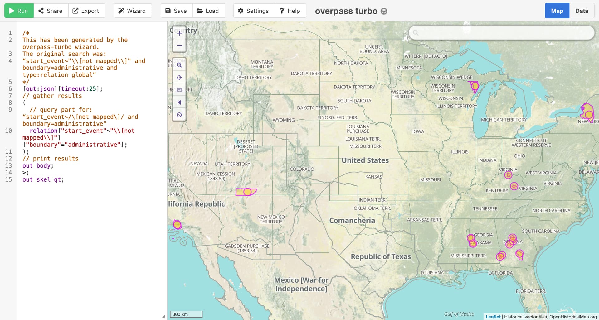
Looking around the country, there are 14 more boundaries with the same “[not mapped]” annotation. This would be an interesting exercise for anyone interested in extending the state of knowledge about the country’s historical boundaries.
1 Like
My screwup - those are what the Newberry downloads used, but I meant to replace them with nothing before uploading. I’ll fix.
I think it’d be better to assume no changes and fix counties that have changed on a more ad-hoc basis than to use the date as a flag, as the number of counties with changes should be << than the total number of county chronos.
1 Like
Could you kindly leave NJ out of the reconciliation process? I’ve already done the reconciliation there in my efforts to do NJ’s municipalities, but as with the county project it’s still a work in progress
2 Likes
Oh, no! We had already uploaded the NJ historical county boundaries about 2 weeks ago, prior to your note.
Welcome to the forum, too! Thanks for checking in here. Your mapping in New Jersey is great & much appreciated. Is there anything we can do to help with your township mapping efforts?
Also - which townships were you mapping?
1 Like
Please just don’t touch anything, I’ve got it sorted! To clarify, I integrated with what you did two weeks ago, but I understand in the near future you plan to merge the state and county borders, I just ask you don’t do that for Jersey. I’m running through all of NJ’s municipalities- it’s not as big of a project as it could be, since 99% of the historical work has already been done, but I’m just slogging through converting that into an OSM friendly format… but I’ve got the time to make it happen
1 Like
No problem at all - we’ll leave that to you!
Just in case, others are interested, New Jersey provides a good illustration of our intent.
There is a plan to replace the current member ways (which are super long and redundant to the shorter segments the county relations use) of the state relations with the shorter segments used by the county relations. That way, if someone were to adjust / correct an “outside” county boundary the state boundary would be adjusted as well, and vice versa.
So, according to the original plan, there would be a major shift in the members of the state relations In this example: the 1 state boundary relation for New Jersey, which I don’t believe has had any boundary changes since statehood.
But, the plan also intends to handle areas where improvements have been made by exception.
For example, of the 30 ways in the current NJ relation, only 22 of them are from the original Newberry Library state import. Of those 22 ways, 20 are islands that have been improved. Of the remaining 2 ways, 1 has been improved and won’t be touched. This leaves 1 old import segment that would be replaced with many shorter segments from the newer import (if Ben weren’t handling this already).
That all said… and to be clear: the plan is always also to defer to local mappers, so if you’d like to take care of this for your state, or any state of general interest, please let us know. Thanks to @BMACS001 for stepping up to take care of New Jersey!
Ben - I’m sure we’ll be in touch as we handle adjustments to state boundary relations for NJ’s bordering states.
The good news for all of this is that there are “only” ~270 state boundary relations (not counting 50 additional type=chronology relations).
1 Like
I’ve finished patching up overlake boundaries in New York, Pennsylvania, and Ohio. @BMACS001 and I have been conflicting with each other a bit, since New York’s border with New Jersey needed a lot of work too, but I think we’ve managed to get our changes in.
For the rest of the Great Lakes states, the overlake state boundaries will be pretty straightforward to map, but the overlake county boundaries will be more difficult. The current status of Michigan’s county boundaries is still a subject of debate: the Census Bureau publishes authoritative-looking boundaries that the OSM community finds suspicious. I’d be inclined to map those boundaries if I can find any scrap of legislation regarding them. It’s entirely possible that they’re just inferences from PLSS surveys that took place.
Edit: @leonne has already mapped most of southeastern Michigan’s counties into the lake, so we’ll just run with that. We’ll need to reconcile them with the Newberry-imported boundaries that stop at the shoreline.
I finally got around to looking at the U.S. international boundaries today and it’s kind of a disaster. I cobbled together bits and pieces into a chronology relation so they’re more discoverable:
One of the boundaries is apparently derived from the Newberry dataset. In general, I think this would be a fine starting point, but we would need to extend it to include maritime boundaries and overseas possessions.
Many of the boundary relations appear to have been created as a stub while mapping something locally, or to represent a named boundary line rather than a territory (the OSM notion of a “boundary”). It might make sense to maintain both territorial and linear boundary relations, since relations like the Mason–Dixon line are always at risk of getting deleted from OSM by mappers who find them “too historic”.
What should we do about boundaries like the Greenville Treaty Line that were completely disregarded by state claims and county designations? The Newberry dataset focuses on county boundaries, so naturally they ignore the treaty lines, but I think that would be a problematic portrayal of that time period on a more general-purpose map. Should we limit the U.S. boundary to the treaty line but have the state and county boundaries extend beyond it?
The most complete relation is an anachronism, essentially representing the contiguous U.S. from the 1950s to present but passing it off as the whole U.S. Its start date has shifted from 1959 to 1872 to 1917, sometimes without explanation. We probably need to clone this boundary multiple times and extend each clone to cover noncontiguous territories.
The import conflated some non-county areas within a territory with the territory itself. For example, this relation only includes the Upper Peninsula, not the main portion of the Indiana Territory to the south that had already been divided up into counties:
The territory as a whole was imported earlier, more manually, so we should retag these relations as non-county areas.
On that note, long-term, we shouldn’t represent non-county areas as boundary relations at all. That’s just an artifact of how the Newberry dataset was structured; they needed a way to discuss the evolution of a non-county area per se. But that’s sort of like mapping the unincorporated area of a county as a municipality in its own right – which would be simply inaccurate.
1 Like
I’ve finished patching up the lakeward boundaries in all the Great Lakes states. However, I mostly left Michigan’s counties alone. I was able to track down the historical boundary claims of Menominee County, Wisconsin, in Green Bay, but otherwise I went with whatever @leonne and @matteditmsts mapped over water, corroborating it with the Census Bureau’s Boundary and Annexation Survey.
Speaking of which, the Boundary and Annexation Survey publishes a file called “Geographic Boundary Change Notes” listing changes to any kind of boundary in the country through January 1, 2013. There were 720 changes between 2001 and 2013 categorized as “County Boundary Change” or “County Boundary Correction”.
The BAS also publishes a listing of “substantial” county boundary changes that continues to be updated. Since 2001, the significant changes include the addition of four county-equivalents, the elimination of two others to become non–county equivalents, two renames (done), one annexation of non-county area, and two land swaps. Additionally, the Census Bureau has replaced Connecticut’s counties with council of government planning regions.
We can cross-reference this information with the Census Bureau’s cartographic boundary files from 2000 through 2018 and 2019 to present. In some cases, the changes hew to more local boundaries such as municipalities and CCDs that we can map based on a single snapshot in time. For example, some of the changes are the result of a city becoming an independent city or ceasing to be one, so no geometries actually change. For manual mapping, TIGERweb publishes WMSes that are suitable for use as background layers.
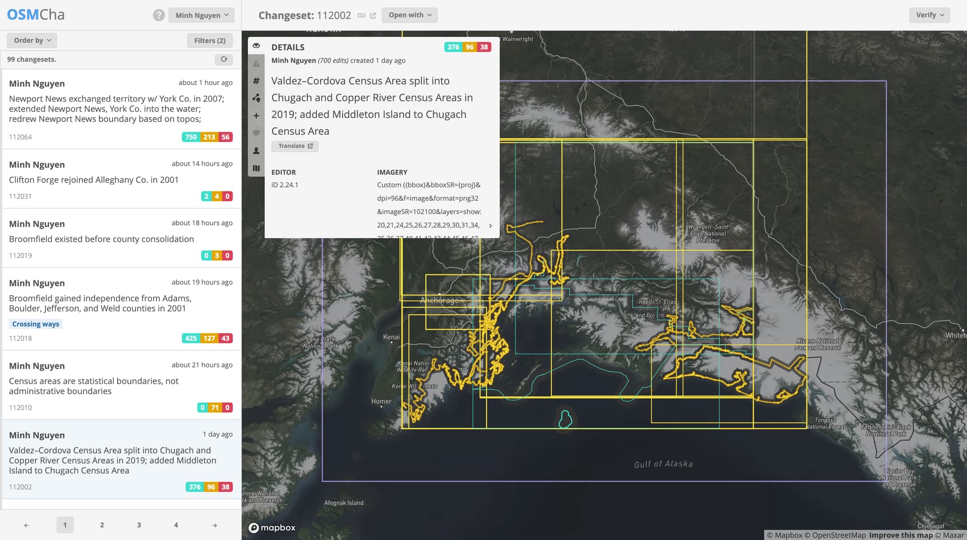
I’ve taken care of all the substantial county-equivalent boundary changes from 2001 to present. I tried my best to reconcile the imported Newberry boundaries with USGS topographic maps (either the built-in USGS topo layer or USGS topoView), TIGER boundaries, and in some cases current aerial imagery where property lines could be inferred from it. Any new boundaries extend into surrounding waters, but I didn’t go back in time and adjust previous stages of a county equivalent to also extend into the water.
Along the way, I learned a new trick for copying boundary relations in iD.


I need help with these changes. There are only 195 changes classified as real-world changes, a much more manageable starting point for us. Some states have many more changes than others; it ranges from one in Ohio (which turned out to be a correction rather than a real-world change) to a whopping 43 in Virginia (mostly changes to independent city boundaries).
Pick a state you’re interested in, filter the CSV to just that state (Type of Change: County Boundary Change, State: the FIPS state code), and compare the imported boundary to USGS and TIGER. You’ll tend to see lots of small discrepancies because of the coordinate transformation issues discussed earlier and general crudeness, but also because TIGER boundaries are often snapped to the nearest road or waterway centerline for statistical convenience. Thus, the USGS layer can serve as a baseline to distinguish these discrepancies from actual real-world changes.
If there has been a real-world change, remember to copy the boundary relation, add it to the chronology relation, and add an end_date to the existing boundary relation. Don’t simply modify the existing boundary relation’s geometry; that would cause an anachronism when viewing the map before the change took place.
This to-do list tracks lots of other cleanup tasks to do, big and small, that you can do in either iD or JOSM with enough patience. Please holler if you’re interested in helping out but need help getting started.