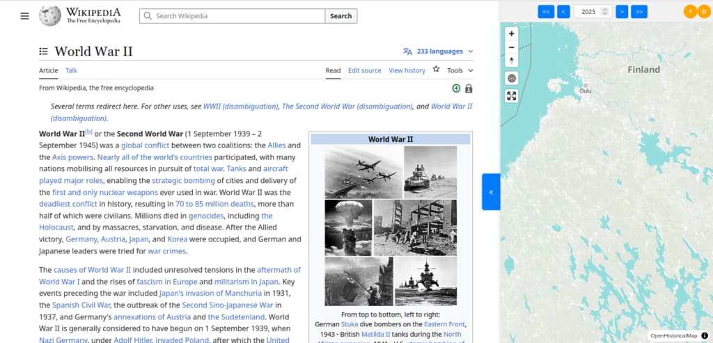
I’m a computer scientist and historian, and I’ve finally been able to create a small platform called globstory.it. The platform helps users read a text while simultaneously viewing a geographical map.
Currently, it fetches a Wikipedia article, and if a user hovers over the name of a country (or clicks, if on mobile) or a year, the map is automatically updated to reflect that information.
I would really appreciate your feedback, especially since we are still in the initial stages of development. The platform is still somewhat buggy, and there are many features I’d like to add in the future—especially with AI.
Thanks for sharing. I’ve added a link to this application to the OHM bibliography and to our documentation on reusing OHM as an example for others to follow.
I think the question about feedback should be directed to us : ) - how can we make improve OHM to make it more useful to you?
What you’ve done is impressive and exactly the type of tool we’d hoped people would build on top of OHM.
What are your plans for supporting a multilingual UI? I know that GlobStory.it can pull up multilingual content from Wikipedia. We’re hoping to have localized labeling in the near future, so please take a look at what we’re up to, let us know if there’s anything else you’d need, and please consider it in your own planning.
For planning, to @Minh_Nguyen’s encouragement to use MapLibre - I think you’ll find that more modern and performant. It’s also the direction we’re headed for rendering.
I’m very happy that you like the platform, and it would be awesome to collaborate (I added you on LinkedIn).
About multilingual support, absolutely!
There are many functionalities that I would like to add, my only problem right now is to find a little bit of funding to develop the project. I’m using AI, and I think that with some small amount of AI credit I could add a lot of functionalities…
Right now I’m studying, so I don’t have a lot of money to dedicate to the development. I’m reaching out some Facebook pages that talks about history to help in organizing a small crowdfunding.
It would be nice to create some sort of community that could create tools related to the digital humanities.
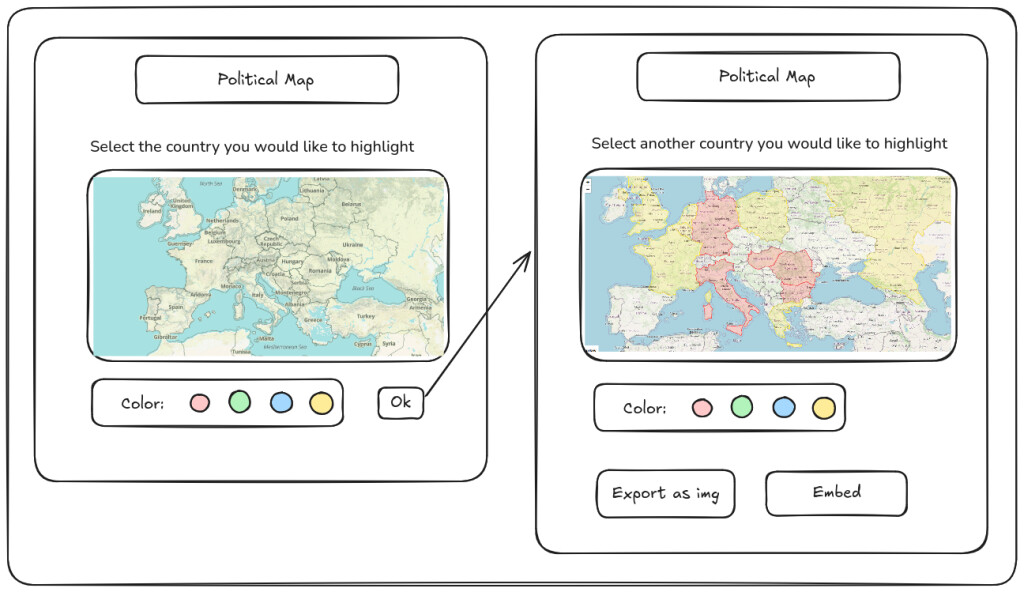
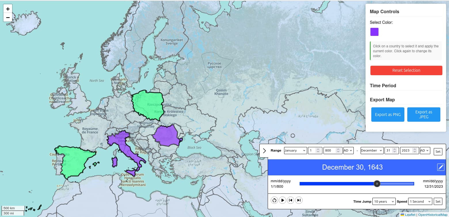
By the way I’ve also updated the website with a v2 (still buggy) version.
Very quick update: I’m asking on Wikipedia what they think about integrate directly OHM inside Wikimedia with some sort of plugin, so that what is doable now on globstory.it can be done directly from Wikipedia.
So, the idea was to test the integration between OpenHistoricalMap and Wikipedia with an user script. I created it (thanks Claude!), at it works quite well (still buggy).
I have a suggestion for you that might or might not be feasible. Check the WikiData id of the Wikipedia page you’re on and fetch the related OHM relation that has that WikiData id for that time frame.
I just like to see borders highlighted. If I could hover over a country name on the article and it got highlighted on the map, that would be very cool, imo.
Your plugin is actually useful for OHM research. While researching a place I hover over the name, which takes me to the place on the map, I look if it’s there already, what the surrounding places are and then decide how to map the area.
Perhaps you can share your source code in case something stands out as the problem? For what it’s worth, leaflet-ohm-timeslider-v2 was designed to work on openhistoricalmap.org; I’m not sure that it’s reusable in a different context like this page. We’re hoping to build a replacement UI that’s more reusable. In the meantime, maplibre-gl-dates is known to work more reliably on third-party sites. Assuming you’re working with GeoJSON that you’ve loaded somehow, you might also be interested in Turf.js for doing some geometric operations, such as subtracting the seas from a given country.
Essentially, yes. Technically we also accept information about the near future, say, this coming November, whereas OSM would probably wait to put in those details. But that should be a very small amount of data overall.