Tyler Vigen’s awesome deep dive into the history of a footbridge in the Minneapolis suburbs has been making the rounds on social media lately. It’s worth a read because, well, curious minds want to know:
The bridge and many of the surroundings are now present in OpenHistoricalMap, thanks to a combination of Tyler’s research along with aerial imagery and other sources that are available to any mapper:
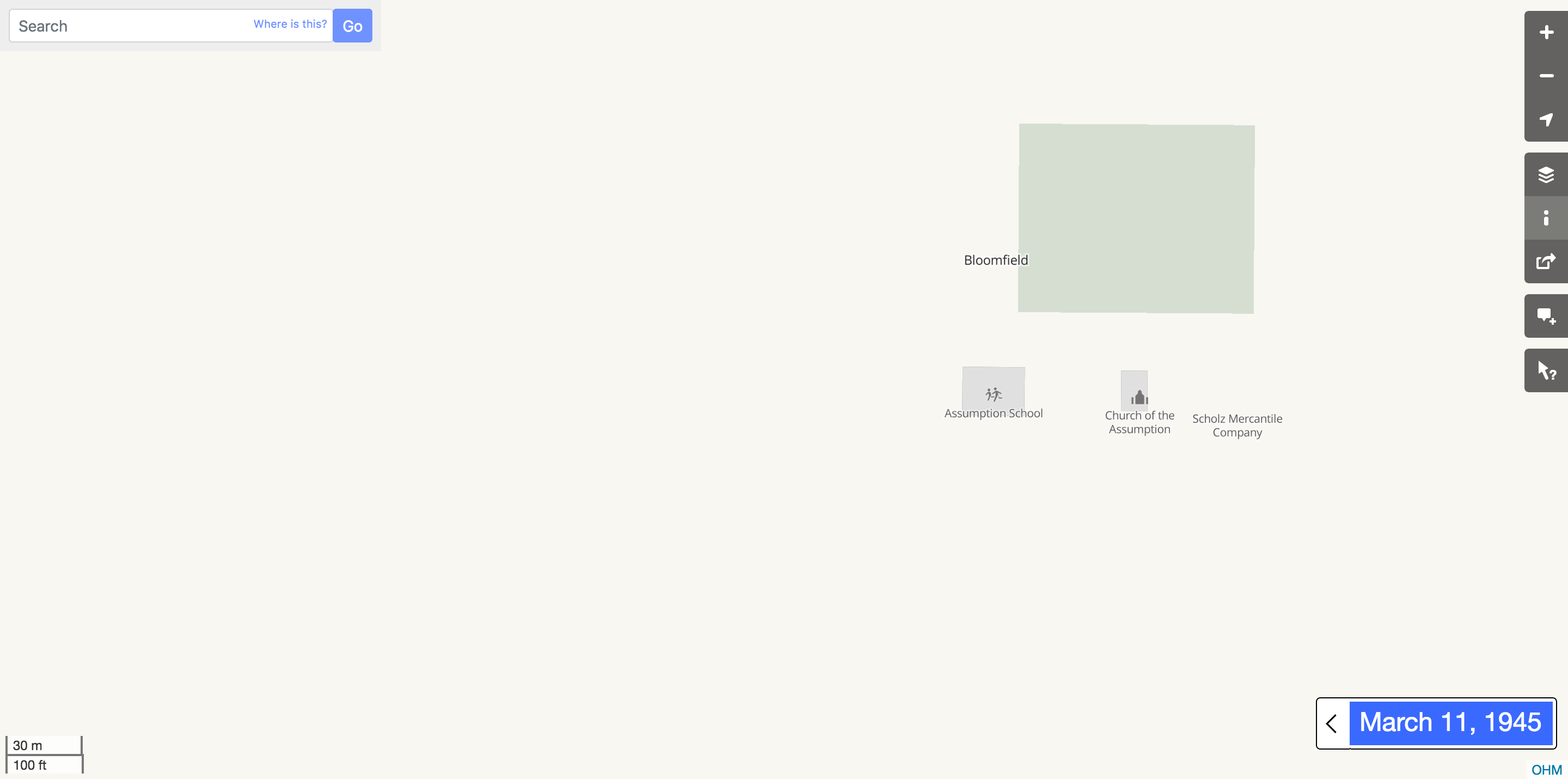
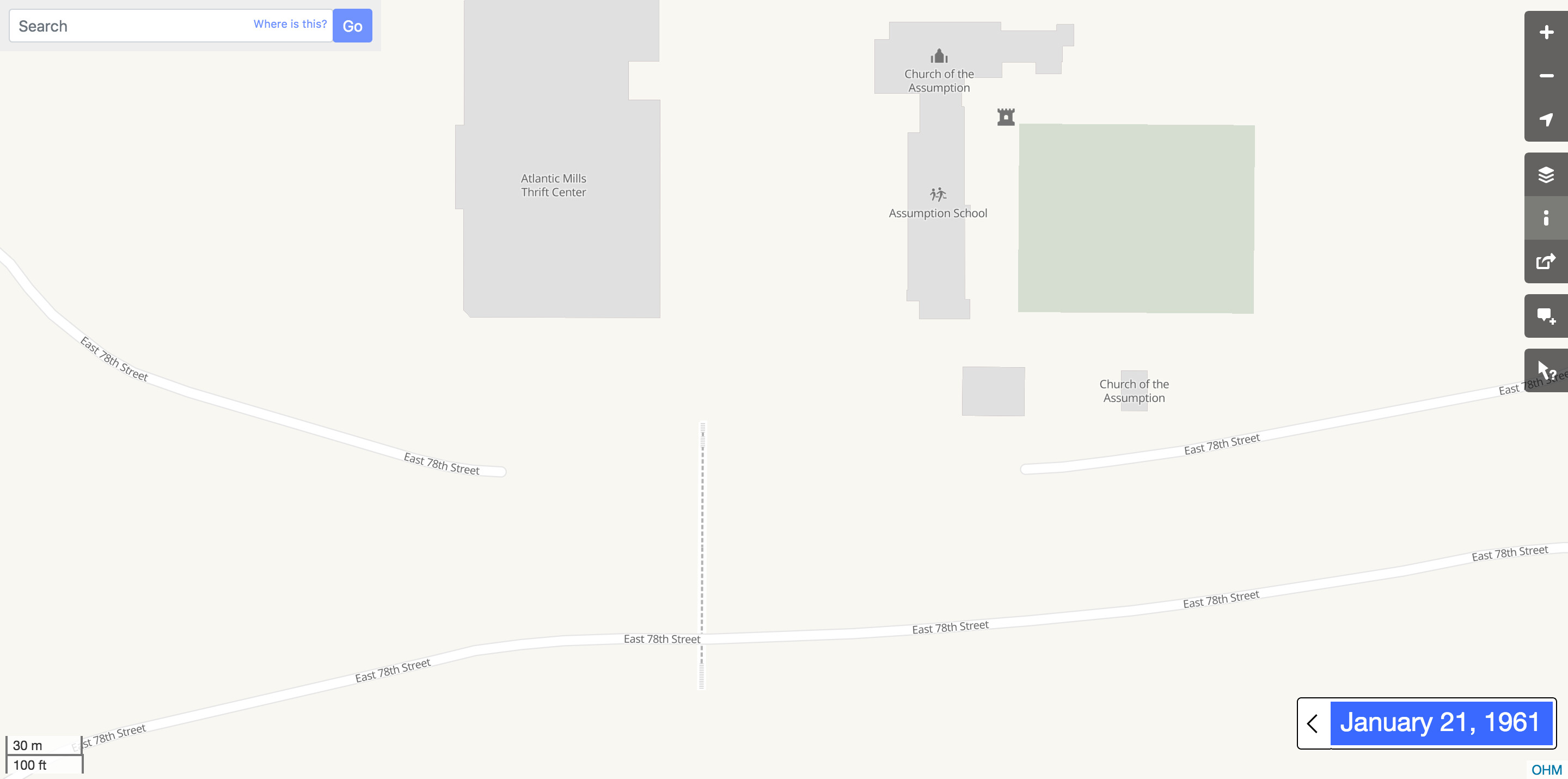
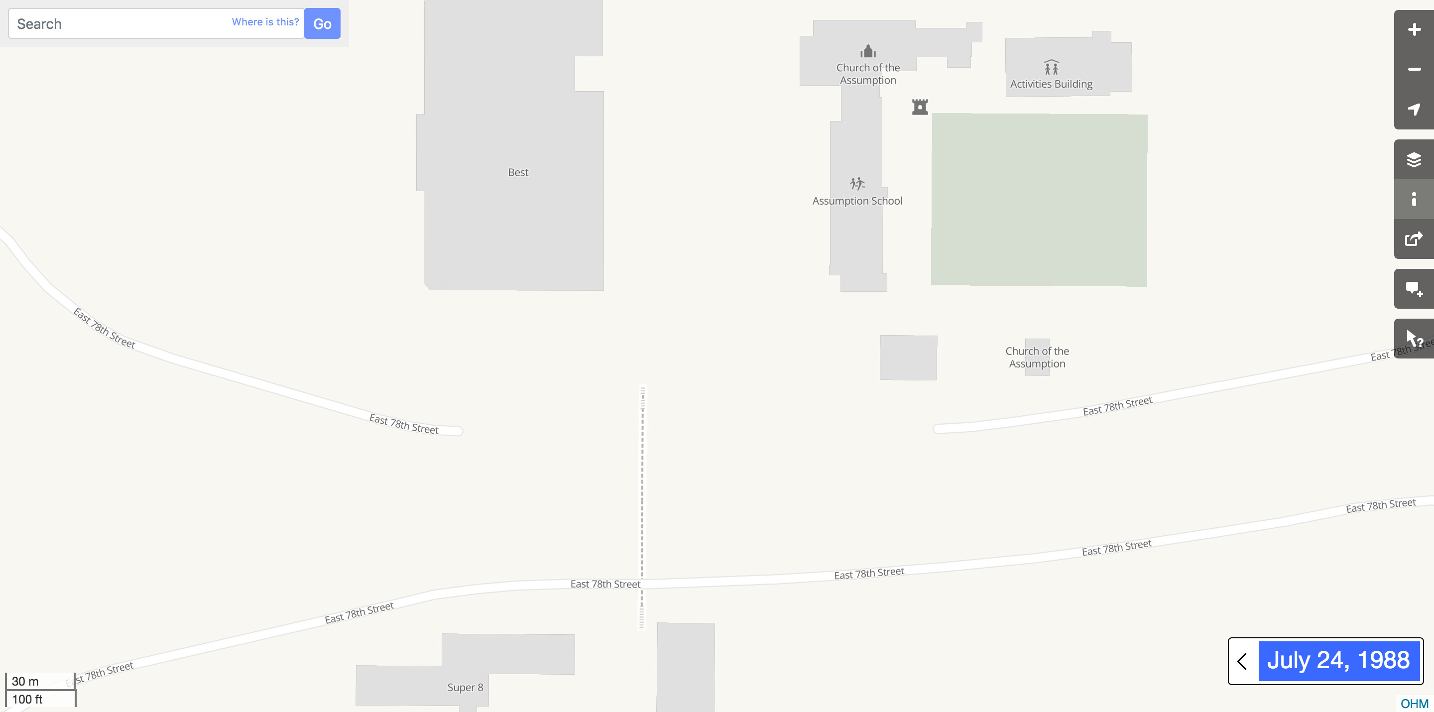
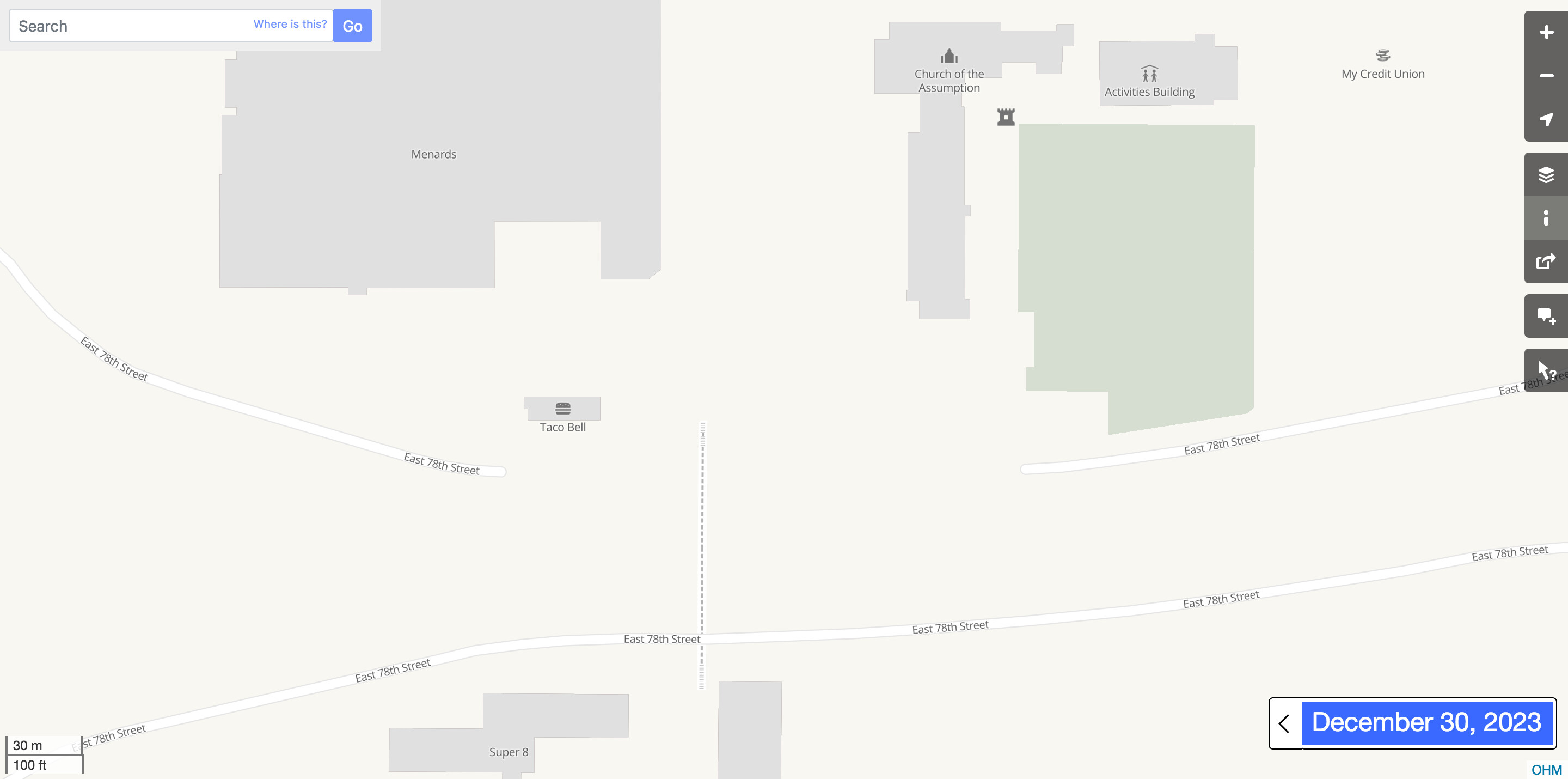
While OHM can’t replace scouring offline historical archives and talking to just the right people, it does make it easier for a researcher to keep all the different leads organized. Seeing these places on a map makes the story make even more sense.
Everything you see in these screenshots has real start and end dates, not placeholders. But there are a lot of gaps. If anyone reading this is familiar with the area or feels inspired to finish what Tyler started, try your hand at editing the map or leave a note here about anything that needs fixing.