I wonder how it would look if OHM had some kind of relevancy score for objects. The idea being that railways were prevalent in the 1800s and not so much in the 21st century.
So for example from 1800-1950 the railways would be displayed as they are now; thick lines and from a low zoom level, then from the 1950s onward they would be displayed as thinner lines at lower zoom levels, or not shown at all on low zoom levels.
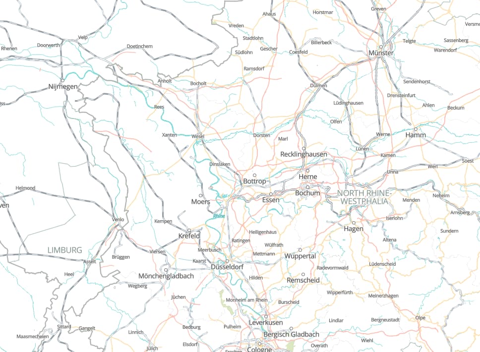
Image of railways drowning out modern infrastructure.
Another example is villages. And maybe this relevancy index would also have to be regionalized… but anyways for example, let’s say our map had all the native American villages on the map, you would barely see them because they would all be tagged as hamlet or village, but what if the relevancy score would give them the same rendering font sizes as towns and cities nowadays.
I’m sure there’s lots of edge cases where this wouldn’t work, or where this would really improve the map. Comment your thoughts on this topic and maybe OHM can use some of these ideas in the future.