Hi all
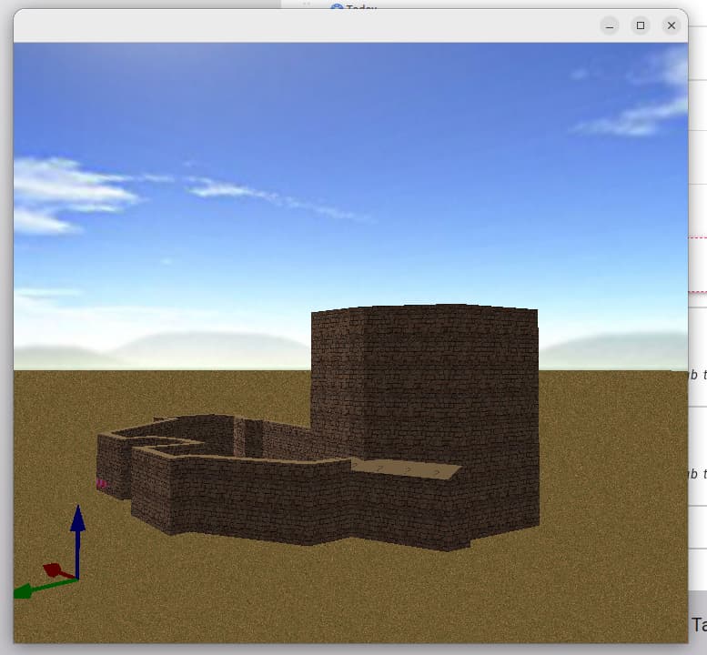
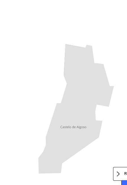
I’m planning to do add several portuguese castles and I have a couple of questions that I’m hoping the more experienced mappers can help me sort it out ![]()
-
Can I upload a geojson (or other) with all the data instead of adding one by one?
-
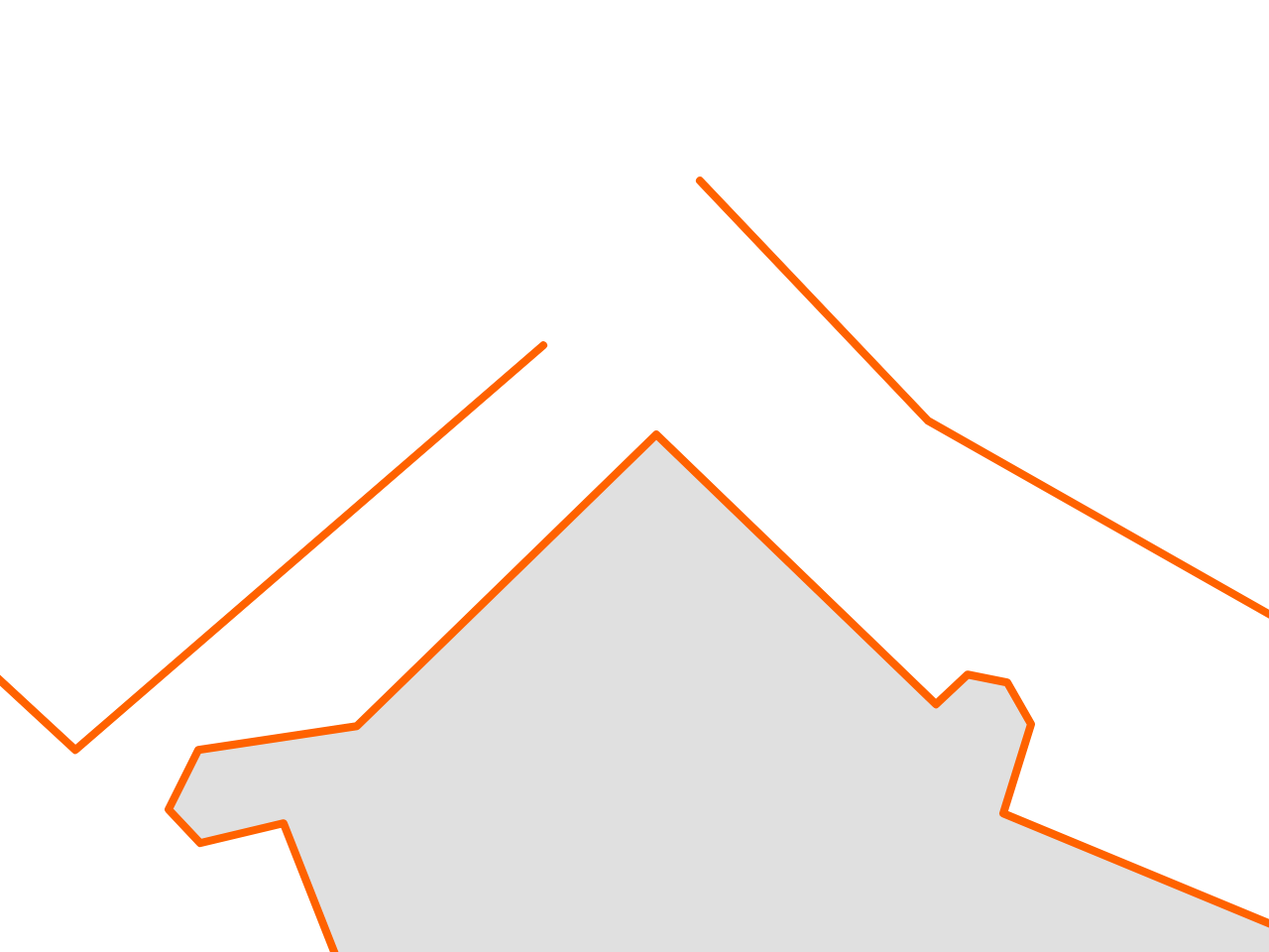
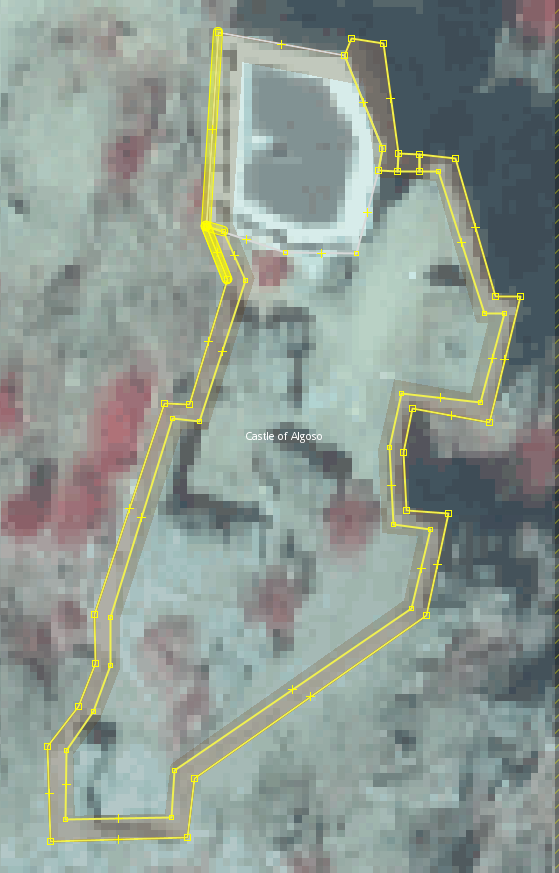
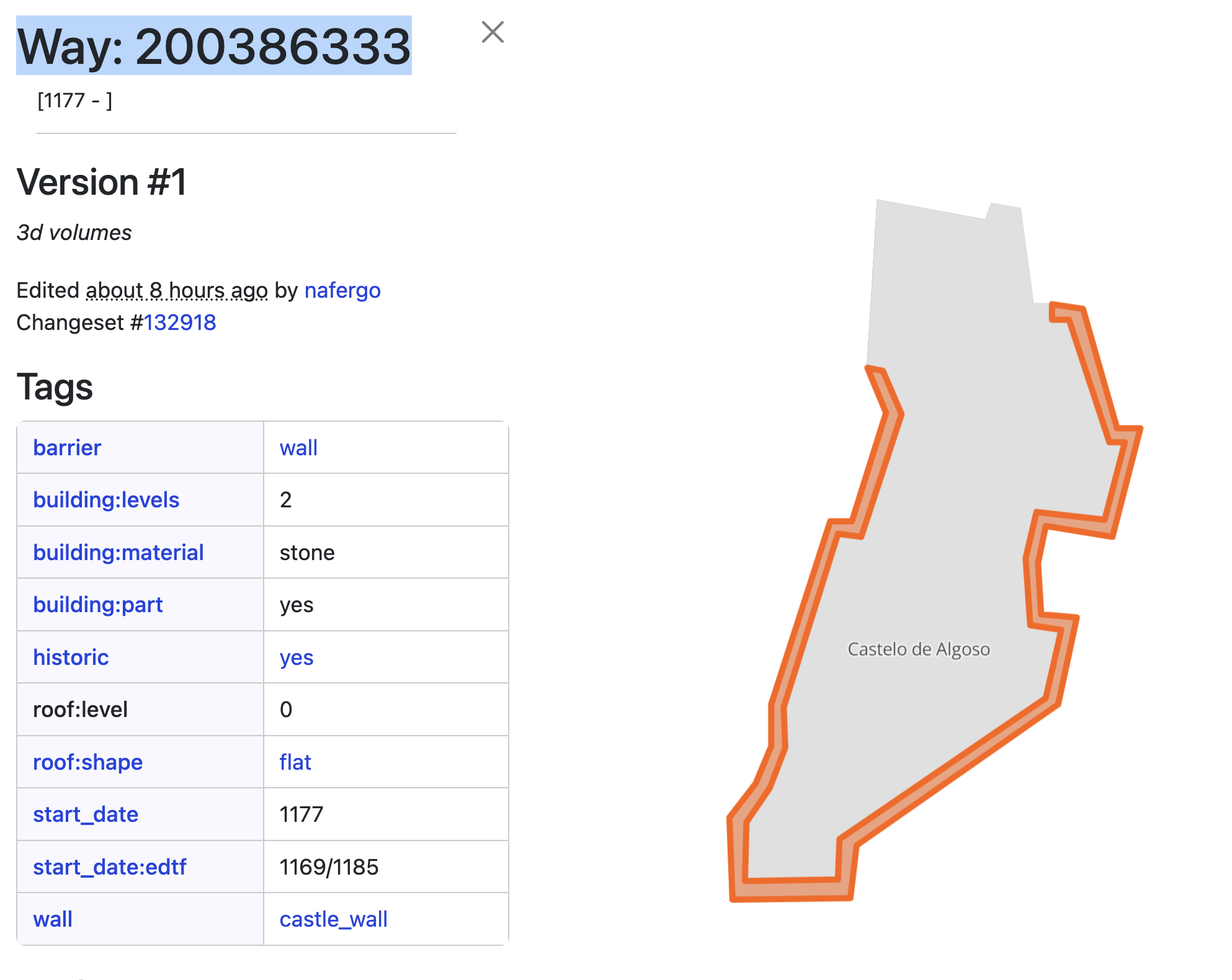
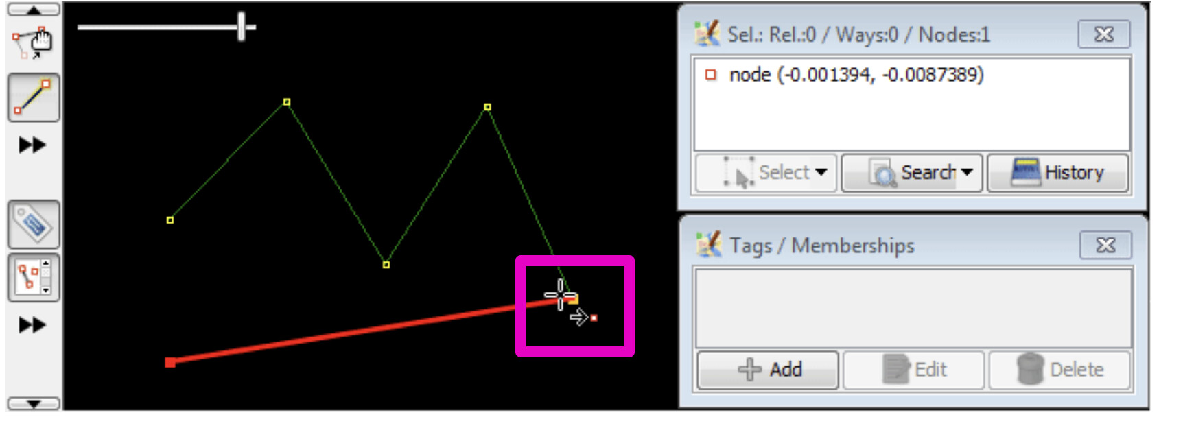
Castles are buildings (osm taginfo shows that most of castles are also tagged as buildings) but if I use lines to draw the walls, I’m getting a warning
“(…) should be a closed area based on the tag building=yes”
Any ideas how to sort this? Doesn’t seem right to use a polygon to this…
-
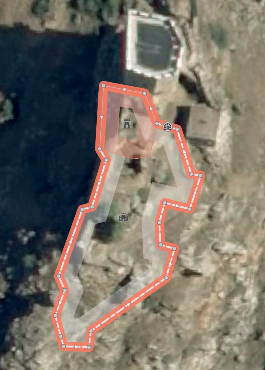
Maybe I should create a relation? And aggregate walls, towers and other elements?
Any good short “how-to create a relation”? -
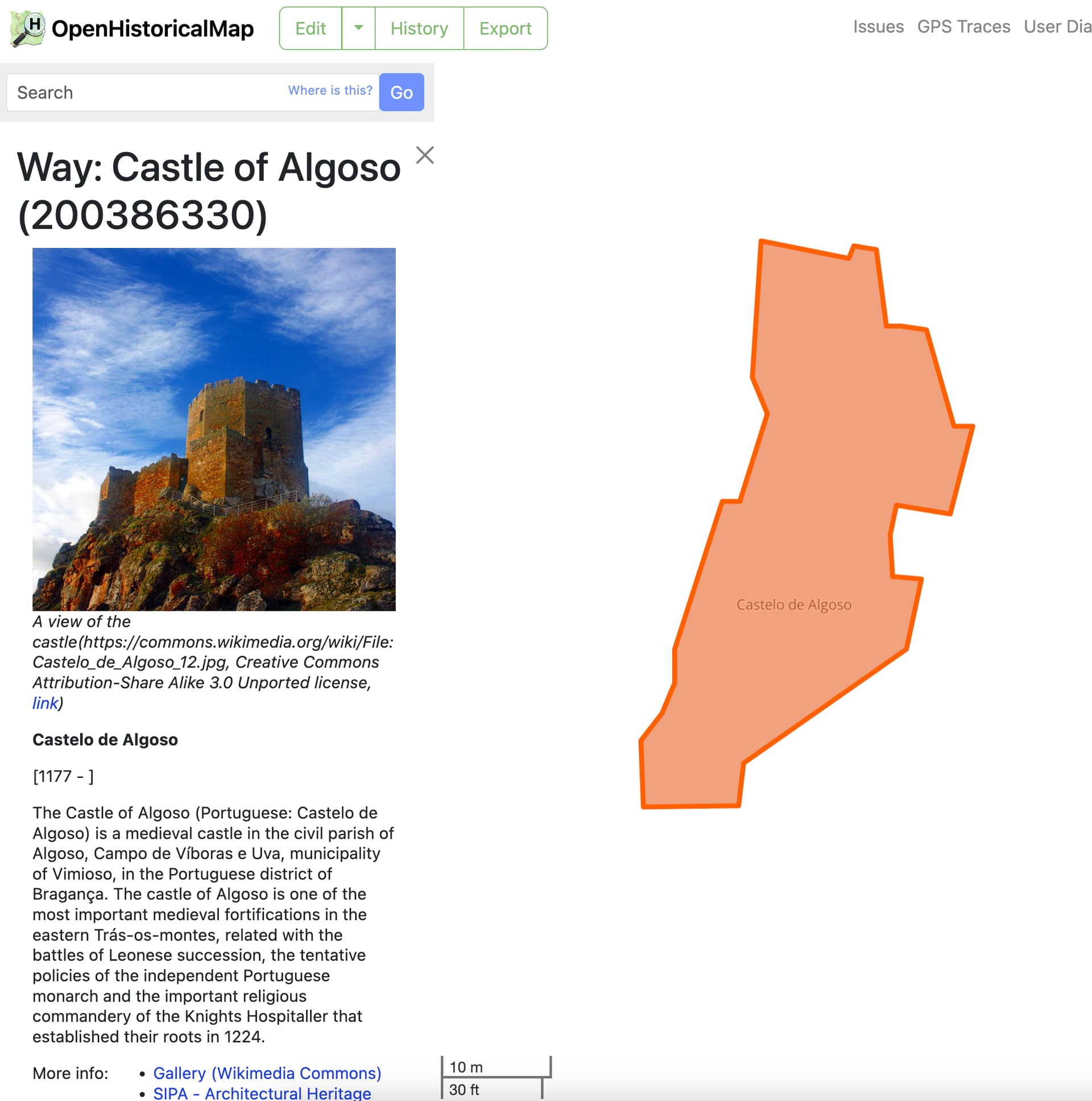
I added two castles to try and I’m planning to use the following tag template when possible:
historic=castle
castle_type=
name= (the default name, used locally)
name:en= (the name in English)
alt_name=
alt_name:en=
historic:civilization=medieval
ruins=
building=yes
wikipedia=en:some_one
wikipedia=pt:some_one
(*Actually this doesn’t seem possible… after using wikipedia=en: I can’t seem to add wikipedia=pt: because I can’t add two wikipedia=
wikidata=
image:1=
image:1:caption=
more_info:1=
more_info:2=
more_info:3=
wikimedia_commons=File:xxx.JPG
start_date=
start_date:edtf=
end_date=
end_date:edtf=
- Some castles have a start date but are located on places where older archaeological findings exist. For example, a XI castle (there are royal documents for the castle in XI century) is located on the top of a hill where archaeology digs revealed findings from 3000BC. Not clear if there was humans there from 3000BC to XI. Anyway, the castle walls are from XI. Let me add that today we can see the XI walls and some walls from later centuries.
what should be the correct approach to the start date?
Any good example how to implement the life cycle with relations? There are castles with parts from different dates.
Sry to bother with all this ![]() also planning to become more autonomous
also planning to become more autonomous ![]()