Hello,
This proposal aims to replace or supplement the existing “Standard” layer with an OpenStreetMap background on which OHM data is displayed in OSM-carto style.
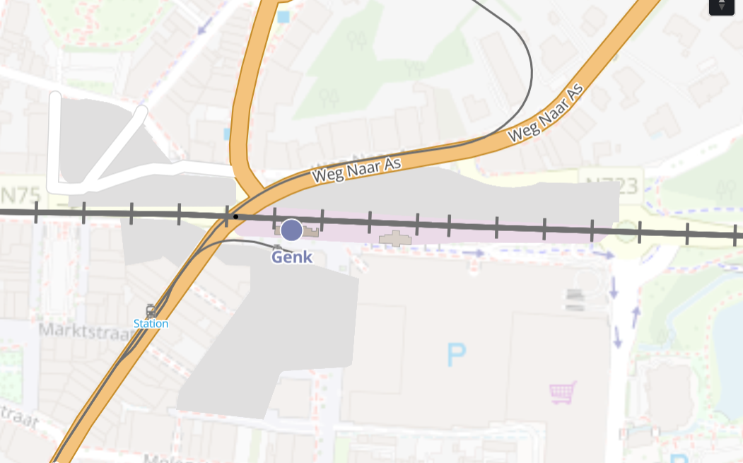
Genk (Be) ;
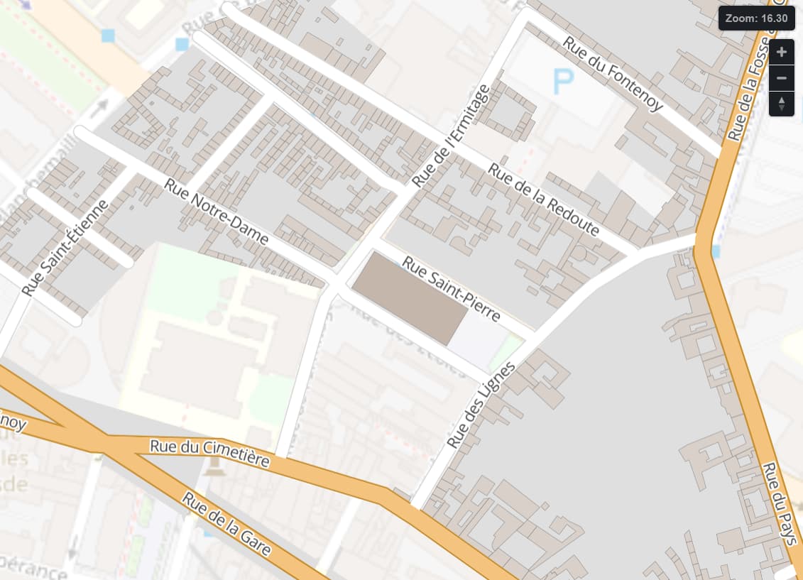
Roubaix (Fr) ;
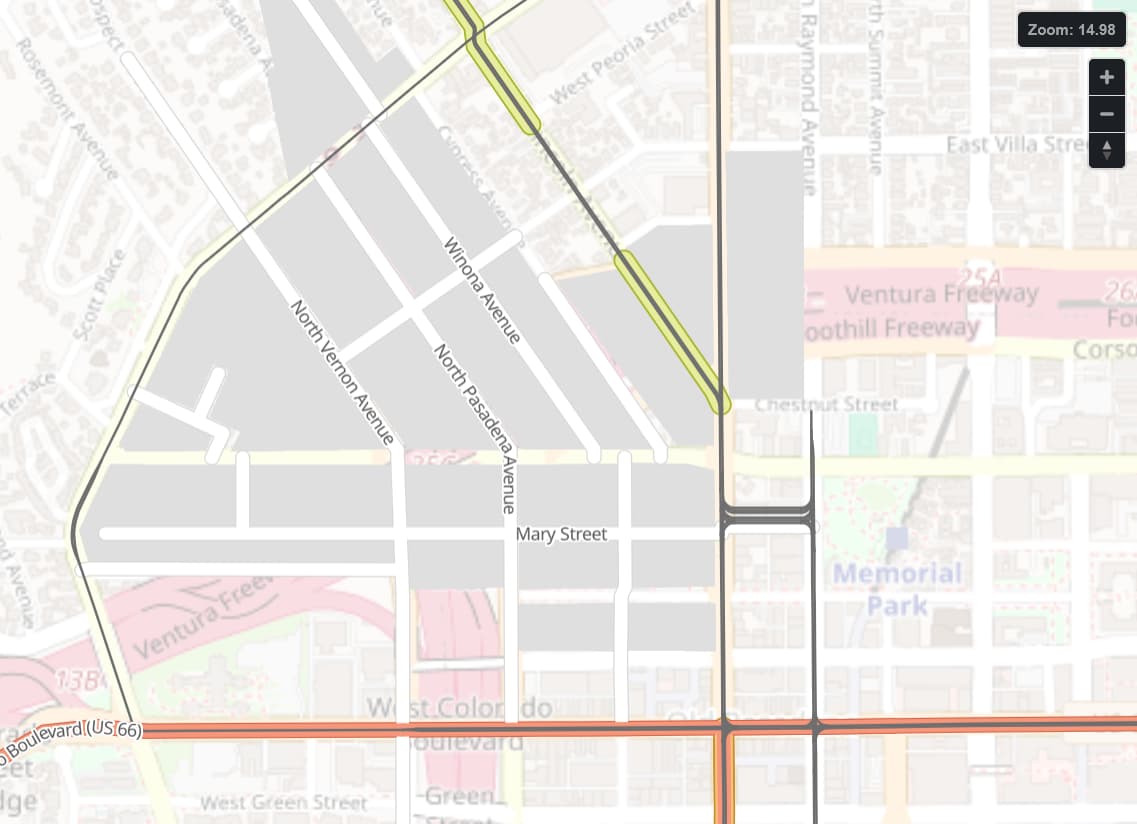
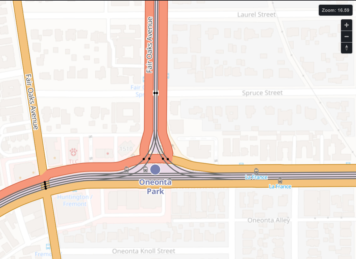
Pasadena ;
South Pasadena ;
Maubeuge (Fr).
Hello,
This proposal aims to replace or supplement the existing “Standard” layer with an OpenStreetMap background on which OHM data is displayed in OSM-carto style.
Genk (Be) ;
Roubaix (Fr) ;
Pasadena ;
South Pasadena ;
Maubeuge (Fr).
This is a great idea, and something I’ve been thinking about for a while. Main reason is that it allows people to see the historic development in its contemporary context, i.e.what they are familiar with rather than a blank canvas. The OSM base map gives points of reference. Especially useful when the OHM map is very sparse.
In my view the OHM overlay does not have to be in OSM-Carto style as I understand that is difficult due to OHM being vector based.
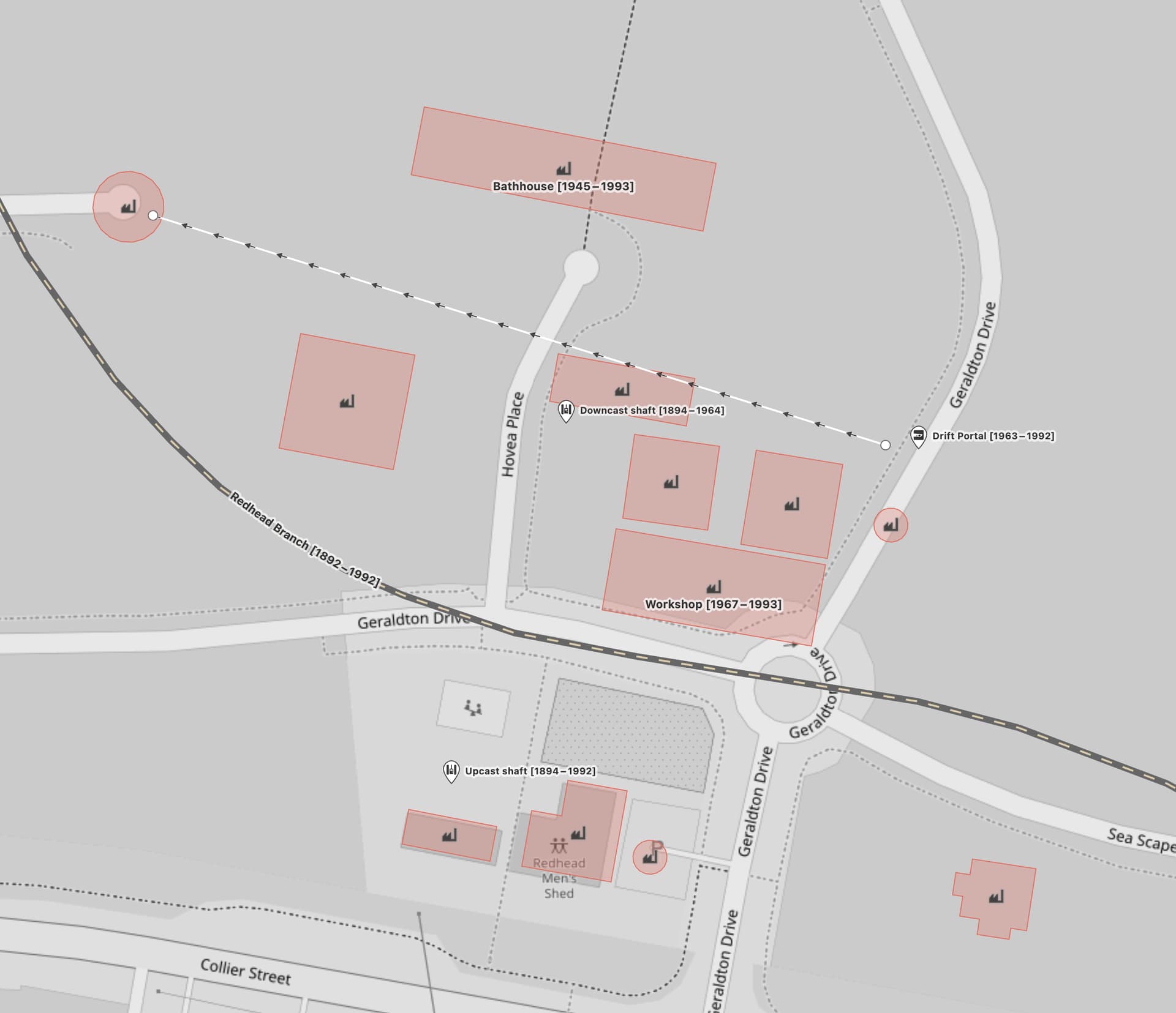
Example:
oooh! there was once a 300 foot deep mineshaft in my front yard!