Hello together,
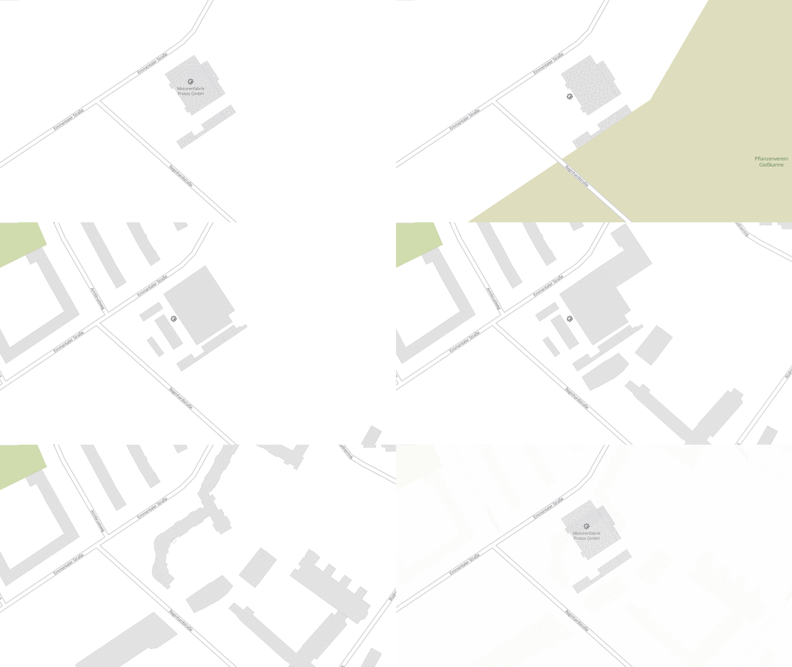
i wanted to to share another little mapping example now of a factory building changing over time in Berlin-Reinickendorf. The factory was first “registered” in Berlin-Reinickendorf in the Berliner Adressbuch in 1907:

The Protos facotory was at that time relocated in 1906 from Schöneberg to Reinickendorf. In 1908 it was relocated to Berlin-Spandau. (More about Protos at en.wikipedia)
The Protos gain worldwide acclaim in 1908 when it was first to cross the finishing line in the 1908 New York to Paris Race.
Advertising poster from Protos at Berlin-Spandau, around 1910.

The building complex was last used in 1994 by the Francotyp-Postalia GmbH after it was demolished and replaced in 1997 by an appartment complex.
You can find the result on the map here. The geometries were mapped from HistoMap Berlin. The first via QGIS and Commons (Geotif) and then imported to JOSM.
If you have any comments or suggestions, please let me know.
Regards Benjamin
3 Likes
Exquisite detail in this area – thanks for sharing!
1 Like
This is great Benjamin. Lots of detail.
Can I ask why you didn’t name the buildings? There is also a tag for ‘Industrial Buildings’.
I’ve been slowly working away at this industrial site (where I spent my working career) and hope to eventually do the steelworks site 1km to the east that is now levelled: OpenHistoricalMap
Andrew
Hello @AndrewS_OHM,
thanks for your reply. I didn’t name the buildings because my digital sources didn’t provide that information. I’ll likely add the ‘Industrial Building’ tag at a later point. Your project is also very remarkable! It’s always interesting to see on the map how buildings are constructed or demolished over time.
Regarding the area I’m mapping and other suburbs of Berlin, the industrial history is marked by factories relocating there in the late 19th century due to space constraints and building regulations. In this context, railway connections have always played an important role, which is also evident in your mapping project.
Regards Benjamin
1 Like
I read “Pflanzerverein”, not Pflanzenverein.
Actually I think it’s “Kleingartenkolonie Pflanzerverein Gießkanne”.

You are right, i misread.
1 Like


