I’m a big fan of the idea of using OHM to show changes in our natural landscape as a result of man’s influence, climate change, or even just natural causes.
The reason I say “idea” is that this implies we have an original baseline for natural landscape, objects depicting features such as grasslands, forests, deserts, etc.
In this post, I’d like to review comps, discuss sources, and gather user thoughts and feedback, so please let the community know what you think!
Landcover Comps
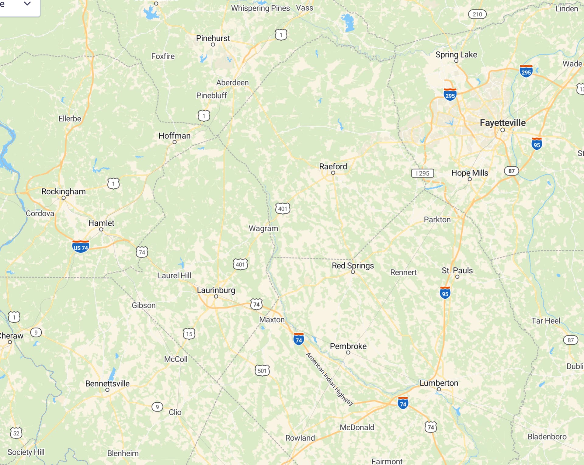
Various well-known mapping platforms have taken different approaches to the challenge of representing landcover. To illustrate, I’ll start with the Google Maps satellite view of an area I’ve been mapping lately - Cumberland and Robeson Counties in North Carolina:
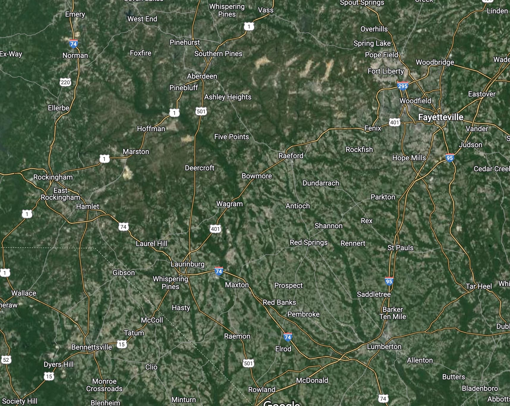
As you can see, it’s a pretty heavily forested area and the tan areas reflect an underlying soil that is heavy in clay. The green tendrils are actually swamps around rivers and lots of standing water.
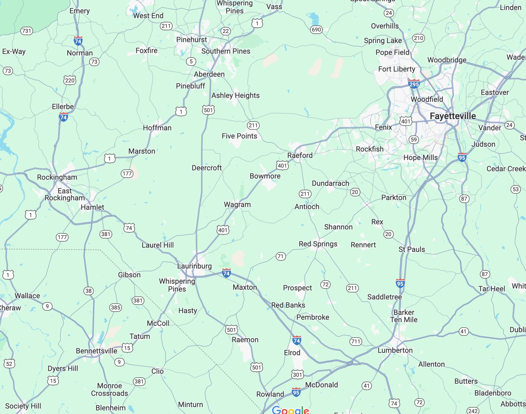
Google Maps’ default view of this area has lumped everything into a basline green cover, punctuated by urban areas (gray) and a few large areas of complete deforestation (tan; airfields, military drop zones, and dense agriculture).
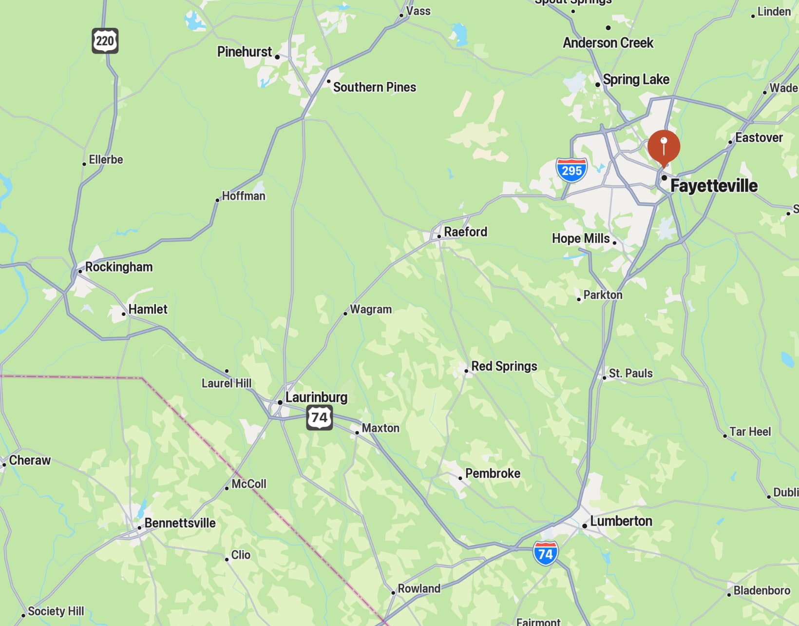
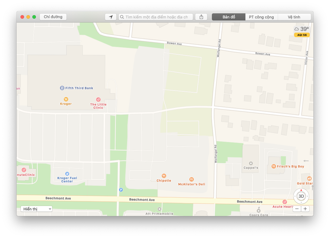
Apple Maps takes a similar approach, but with a slightly stronger bent toward forest / nonforest differentiation.
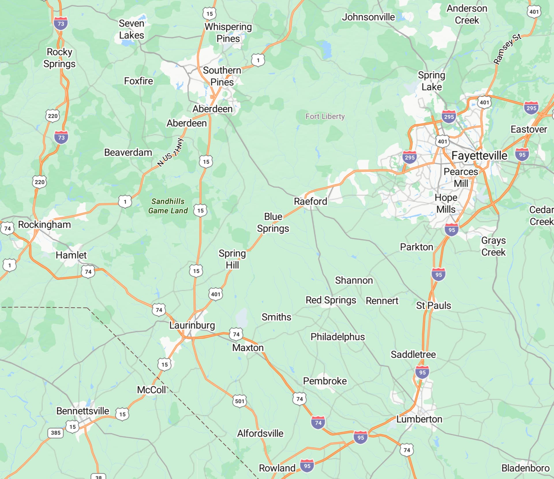
Bing Maps is similar to Apple, with clearly different editorial decisions:
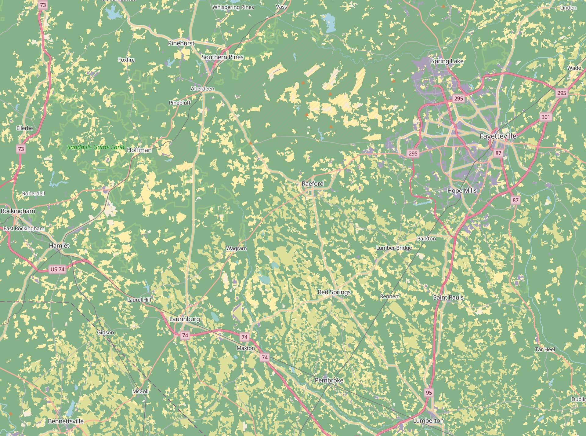
MapTiler/OpenMapTiles street layer makes a much more fine-grained distinction about where forest cover is present & seems closest to an on-the-ground representation of landcover:
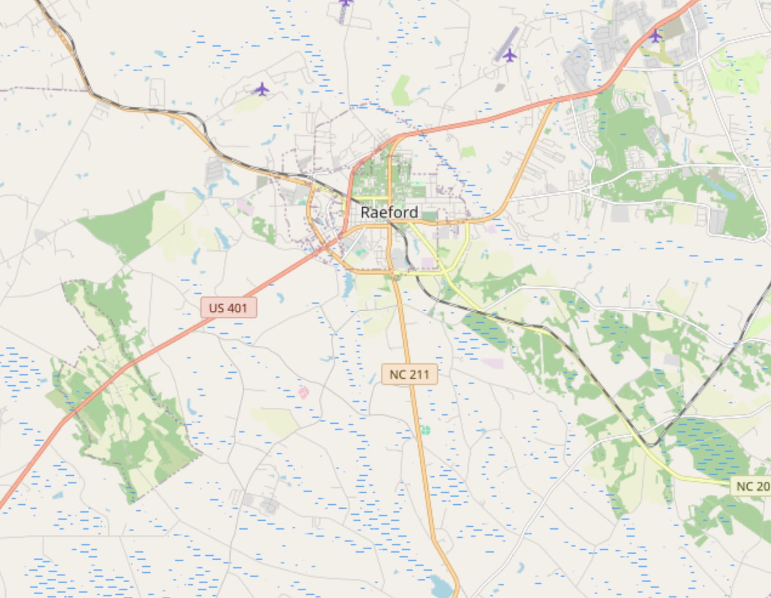
OSM’s landcover treatment is nice, but the coverage appears limited to where some local mapper has taken a deep dive into adding landcover. Zoomed in from the prior views to show the detail:
[EDIT] And, here is Overture’s landcover layer:
This Overture layer does some interesting stuff at lower zoom levels:
Blog post about the Overture landcover release.
Landcover sources
Well, there’s always the obvious: manual mapping of physical areas by hand, which is what appears to have been done in the OSM example. User slgidley has mapped this with excellent detail and I have a message out to him asking how this was done.
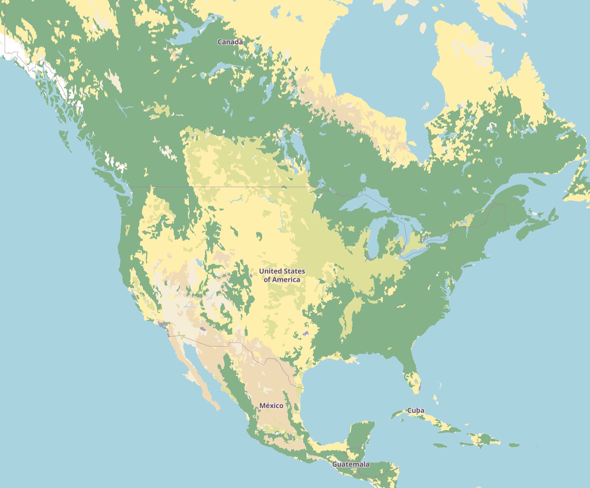
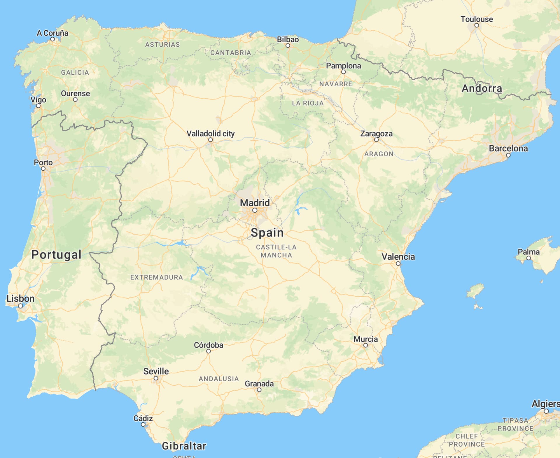
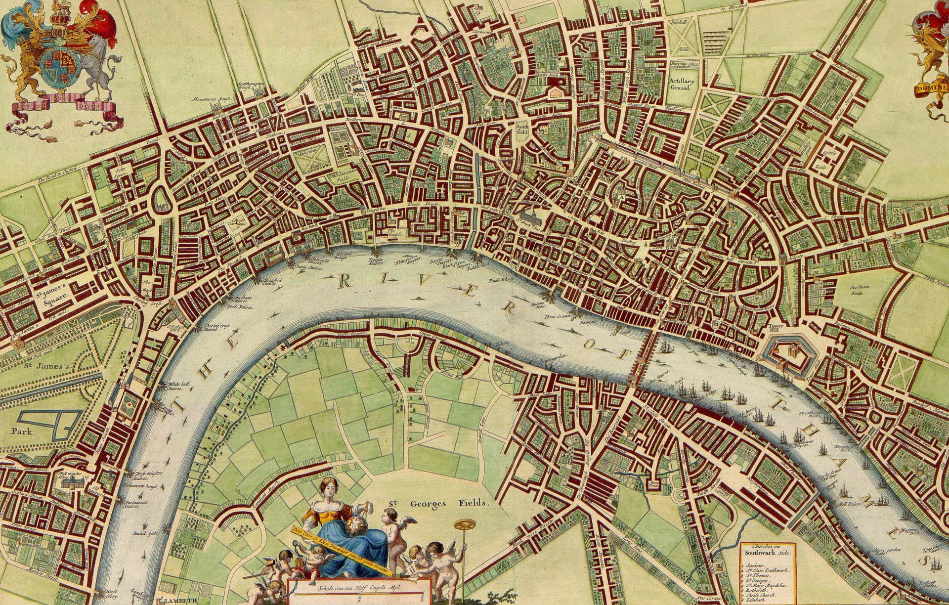
In many countries, there are landcover databases that could be leveraged. I’m not 100% certain of the availability of all of this data, but the MapTiler street layer of the Iberian Peninsula and the rest of the world gives me confidence there’s data we could obtain elsewhere:
In the US, there’s the USGS Land Cover Woodland dataset with national coverage.
Unfortunately, this dataset has two major issues.
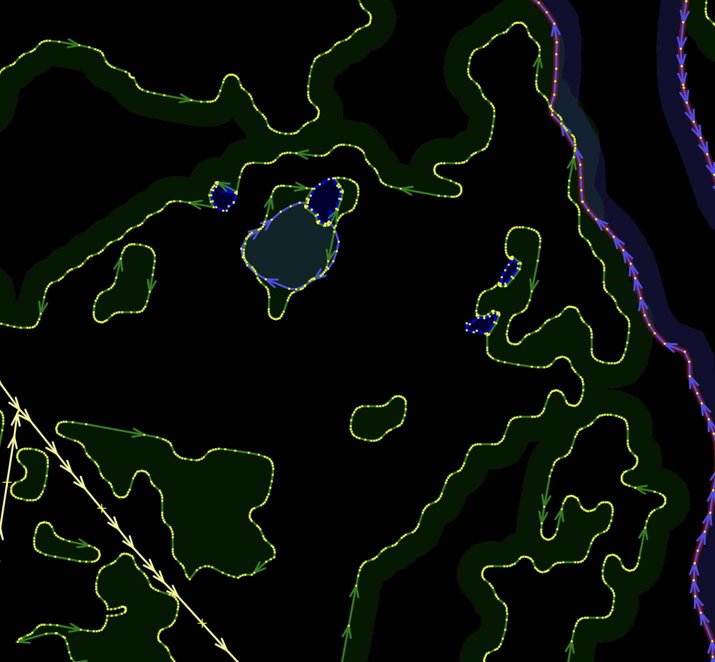
First, where roads have cut through a forest, the landcover must be filled in to restore an original state. We could just fill in obvious gaps where forests have what appear to be continuous boundaries interrupted by a road, but this is an assumption and may be very difficult to source accurately.
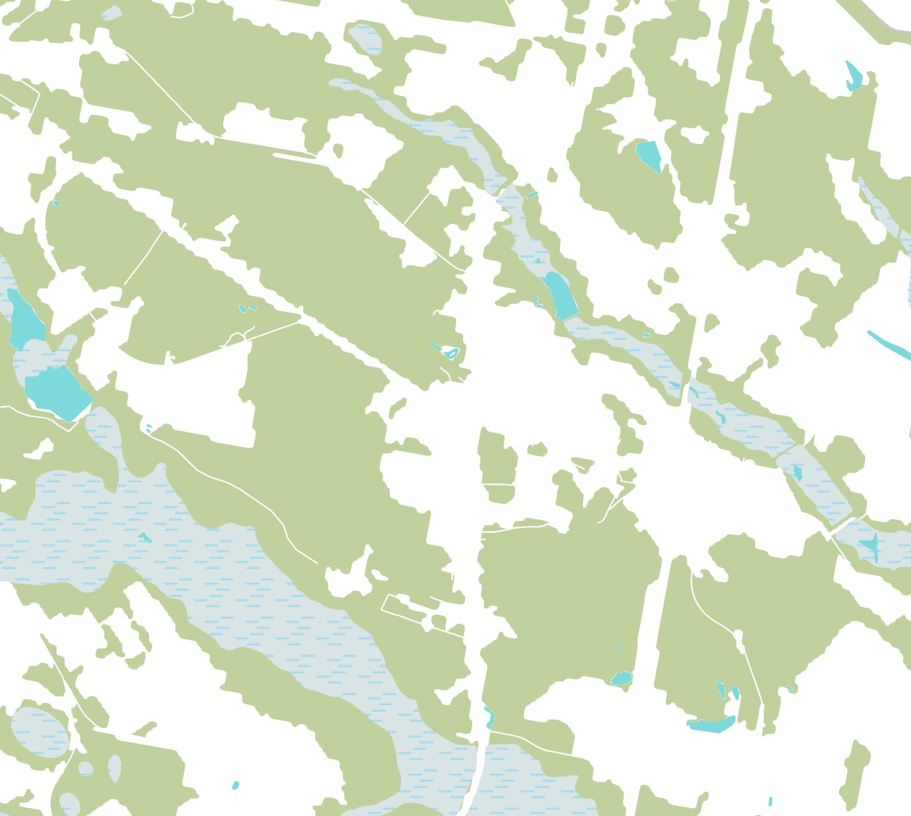
In other cases, the woodland coverage has a clearly unnatural straight edge with no easy answer for how to repair:
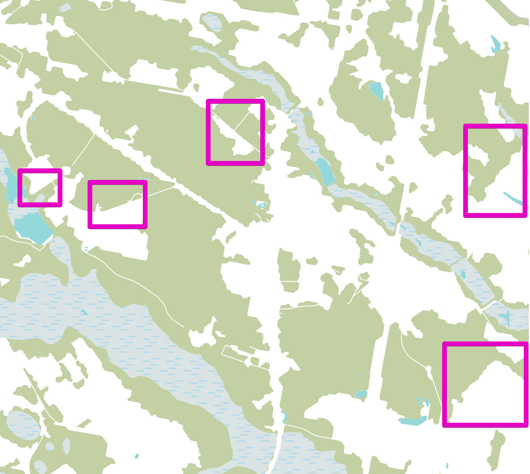
This means that creating a “restored” landcover will involve a laborious refilling of where roads have cut through the original landcover (also true for much water coverage… but that’s a different post):
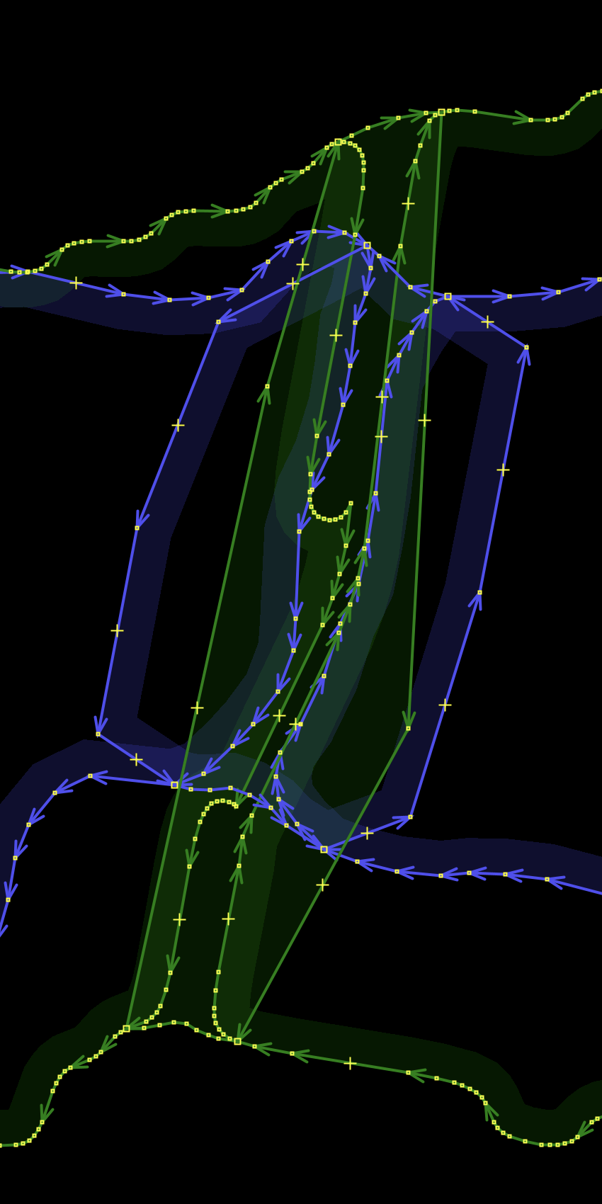
Second, the data from this source has been constructed with a questionable choice of how to make the data look “more natural.” Perhaps in an effort to reduce the number of straight lines, or in cases that met some sort of algorithmic rule, the USGS has introduced rolling curves that are clearly unnatural:

Interim Thoughts
- Some sort of landcover will provide interesting historical context throughout time and is something we should pursue on OHM.
- Because we will need to modify this landcover, it needs to be stored in OHM and we should not rely on a third-party’s landcover layer at medium to high zoom levels.
- We should identify data sources with national coverage and import those thoroughly, to provide good coverage
- For the US: After spending many hours attempting to manually repair the USGS national landcover database for a small corner of 1 county in North Carolina, I’d suggest that this is not a good use of most mappers’ time and I don’t have an obvious answer for how to solve patching these holes accurately or automatically.
- For the US: the wavy edges of this USGS dataset are a problem. The data is close to being pretty good, but damaged in a way that makes it not really good enough to use. Sort of like a lot of AI reading of maps right now. Amazing how close it comes, but not close enough to be usable.
.jpg)